
Epsilon Launch Vehicle
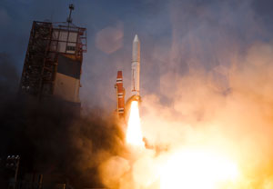
Description
The Epsilon is a solid-propellant launch vehicle developed by JAXA to provide cost-effective and flexible access to space for small satellites and scientific payloads. Derived from the M-V rocket heritage, Epsilon was designed with automation and mobile launch operations in mind, allowing a minimal ground crew to operate the countdown using an intelligent launch system. The Enhanced Epsilon model features three solid-fuel stages and an optional liquid kick stage (CLPS) for precision orbit insertion. Epsilon has successfully launched multiple payloads simultaneously, demonstrating its capability as a rideshare vehicle. The rocket is particularly suited for time-sensitive scientific missions and technology demonstration satellites. Its compact design and streamlined operations make it one of the world most efficient small launch vehicles. Epsilon-5 set a record by delivering nine satellites to orbit in a single mission.
Specifications
| Height | 26 m |
|---|---|
| Mass | 95.4 t |
| Diameter | 2.6 m |
| Payload to LEO | 1,200 kg (250 × 500 km, standard configuration) |
| Stages | 3 solid + optional liquid |
| Propellant | Solid fuel |
| Payload to LEO, 500 km circular | 700 kg (with compact liquid propulsion system) |
| Payload to SSO | 450 kg (500 km, with compact liquid propulsion system) |