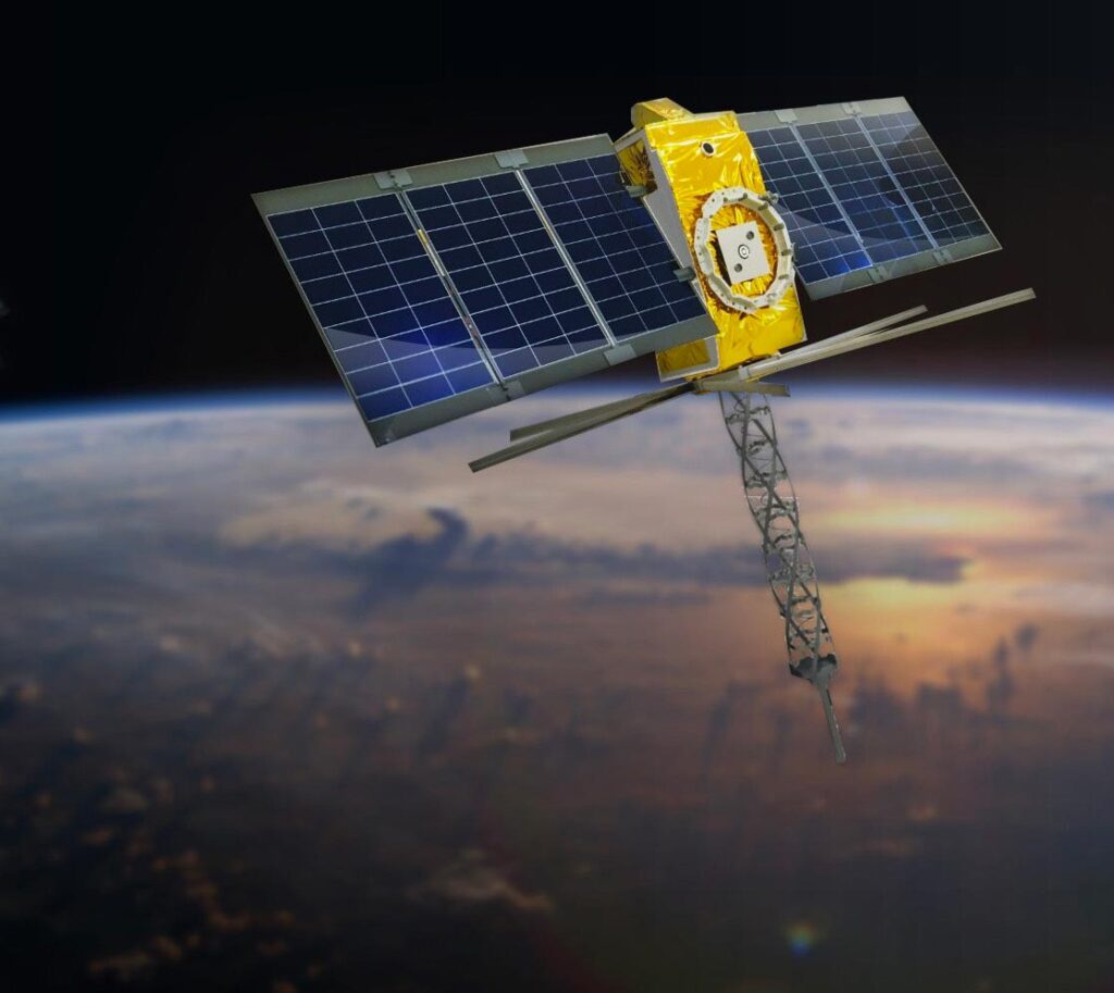

Kinéis provides global satellite connectivity services dedicated to IoT and AIS, enabling monitoring, localization, and risk management for assets and operations in remote areas.
Kinéis Global Satellite Connectivity for IoT and AIS
Kinéis provides global satellite connectivity services dedicated to IoT and AIS, enabling monitoring, localization, and risk management for assets and operations in remote areas.
Description
Kinéis offers a global satellite connectivity service specifically designed for Internet of Things (IoT) and Automatic Identification System (AIS) applications. This service addresses the challenge of 85% of the Earth's surface being beyond terrestrial network coverage. By leveraging its IoT & AIS satellite constellation, Kinéis enables users to monitor, locate, and mitigate risks, thereby protecting assets and securing operations even in the most isolated regions. The service aims to eliminate blind spots in supply chain tracking, reduce maintenance and inspection costs through optimized resource allocation and intervention prioritization, and prevent facility breakdowns via continuous and precise surveillance. Kinéis, as a SatCom operator, boasts 40 years of experience in data collection and operates the first European IoT constellation. The service currently connects 20,000 devices, with a projected growth to 2 million by 2032. It emphasizes sovereign and secure data storage in France.
Specifications
| Experience in data collection | 40 years |
|---|---|
| Current connected devices | 20,000 devices |
| Projected connected devices (2032) | 2 million |
| Data storage | Sovereign and secure, in France |