
Agentic AI geospatial analytics platform for satellite data — ingests Sentinel, Landsat, commercial optical and SAR imagery, IoT feeds and enables no-code Earth observation analysis with 50+ pre-built templates.
LYRASENSE Geo Agentic Platform
Agentic AI geospatial analytics platform for satellite data — ingests Sentinel, Landsat, commercial optical and SAR imagery, IoT feeds and enables no-code Earth observation analysis with 50+ pre-built templates.
Description
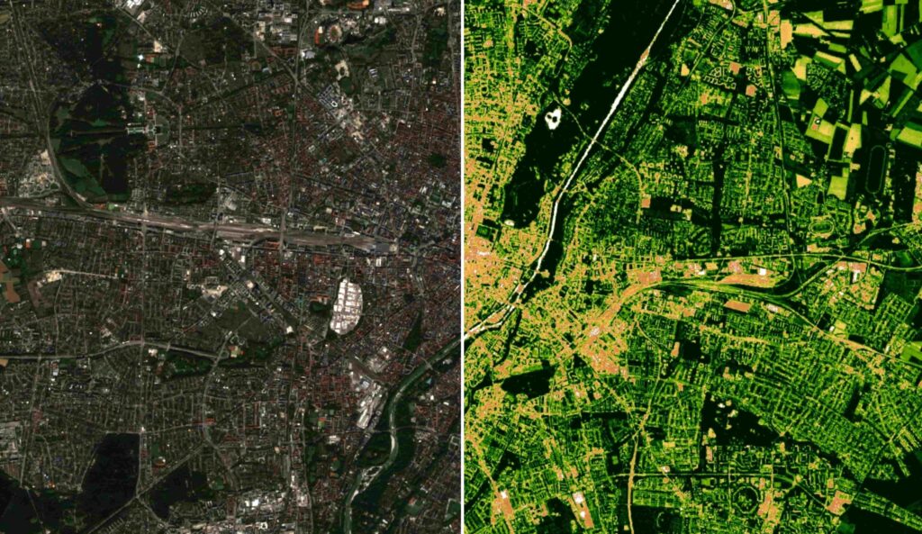
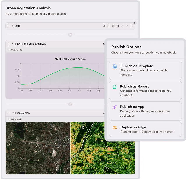
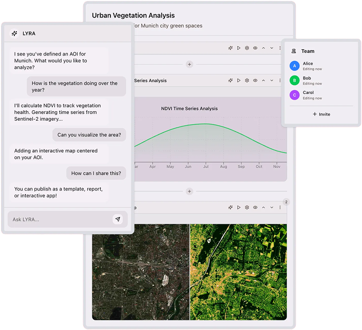
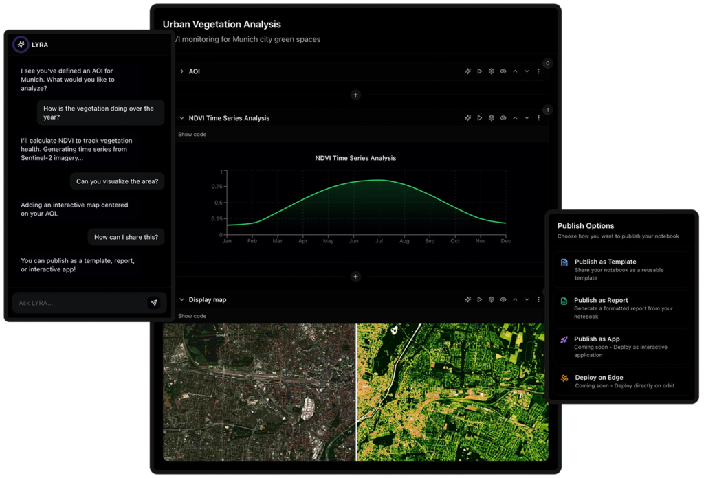
LYRASENSE is a geospatial intelligence software company whose Geo Agentic Swarm platform provides end-to-end satellite data analysis without requiring users to write geospatial Python code. The platform ingests multi-source imagery — including Sentinel, Landsat, commercial optical and SAR data, drone feeds, and IoT sensor streams — indexing them by region and date for fast querying. The LYRA notebook agent understands both the data and the analyst's question, guiding analysis through collaborative notebooks and generating interactive maps, formatted reports, and geospatial dashboards. Over 50 pre-built analytical templates cover core Earth-observation workflows including NDVI vegetation monitoring, emissions tracking, vessel detection, infrastructure assessment, agricultural yield prediction, and mineral detection. The platform replaces the traditional three-process pipeline (data ingestion, processing, application deployment) with a single unified workflow, reducing deployment time from weeks to minutes and enabling analysts to prompt in their native language.
Specifications
| Platform type | Cloud-based agentic AI geospatial analytics SaaS |
|---|---|
| Data sources | Sentinel, Landsat, commercial optical and SAR imagery, drone feeds, IoT sensor streams |
| Imagery types | Optical and Synthetic Aperture Radar (SAR) |
| Pre-built templates | 50+ (NDVI, emissions, vessel detection, infrastructure, yield prediction, mineral detection) |
| Code requirement | None — platform handles geospatial Python libraries automatically |
| Language support | Multi-language native-language prompting |
| Output types | Interactive maps, formatted reports, geospatial dashboards |
| Deployment time | Minutes (vs. weeks with traditional pipelines) |