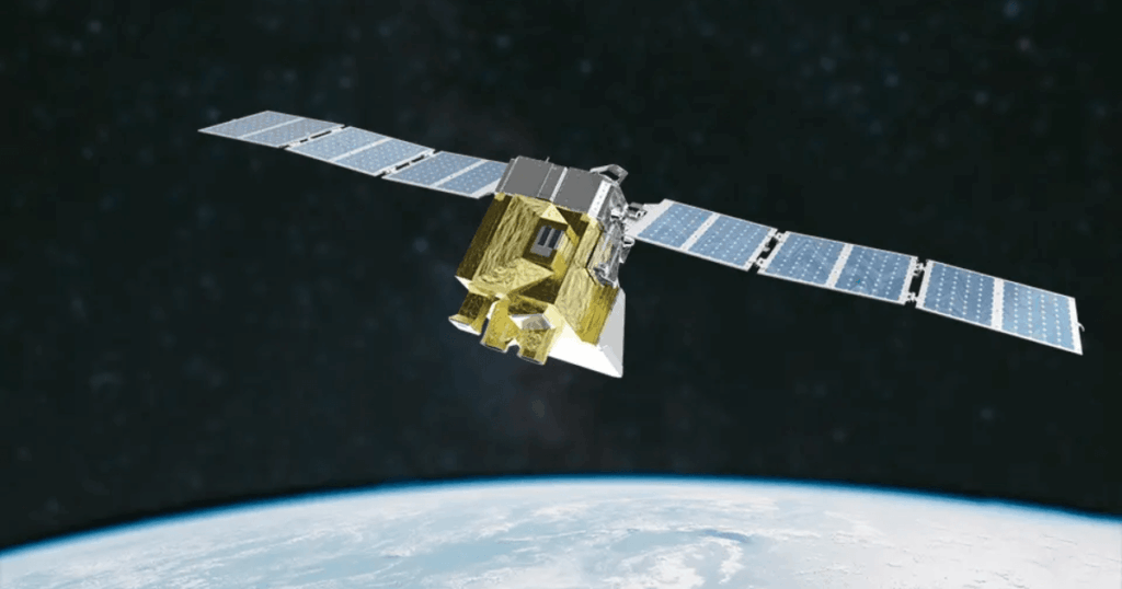

362 kg Earth observation satellite measuring atmospheric methane at 100m x 400m resolution across 200 km swaths — detects diffuse emission sources missed by other satellites, operated by Environmental Defense Fund.
MethaneSAT Satellite
362 kg Earth observation satellite measuring atmospheric methane at 100m x 400m resolution across 200 km swaths — detects diffuse emission sources missed by other satellites, operated by Environmental Defense Fund.
Description
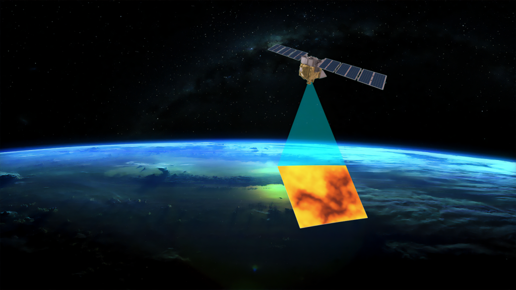
MethaneSAT is a purpose-built methane monitoring satellite operated by the Environmental Defense Fund, orbiting at 590 km altitude to track oil and gas emissions globally. It carries two passive infrared Littrow spectrometers covering the 1249–1305 nm (O2) and 1598–1683 nm (CH4/CO2) bands at 0.20–0.25 nm spectral resolution, using HgCdTe 2k x 2k detector arrays to achieve 3 ppb methane concentration detection precision. The wide 200 km swath enables regional-scale coverage, identifying small, dispersed emission sources that comprise over 70% of oil and gas methane emissions — sources typically missed by other satellite systems limited to narrower fields of view. Data is freely available via web portal, Google Earth Engine, and Google Cloud, with the satellite orbiting Earth roughly every 100 minutes and data processed within days of acquisition.
Specifications
| Payload mass | 183 kg |
|---|---|
| Observatory mass | 362 kg |
| Orbit altitude | 590 km |
| Swath width | 200 km |
| Ground sample distance | 100 m x 400 m |
| Detection precision | 3 ppb CH4 |
| Detectors | HgCdTe 2k x 2k arrays |
| Spectral bands | 1249-1305 nm (O2), 1598-1683 nm (CH4/CO2) |
| Spectral resolution | 0.20-0.25 nm |
| Orbital period | ~100 minutes |
| Data access | Free — web portal, Google Earth Engine, Google Cloud |