
OCULLO Space & Satellite Workshop Programme
Description
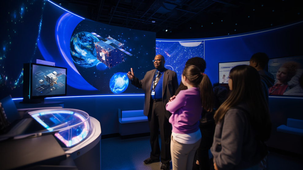
The OCULLO Space and Satellite Workshop Programme is a comprehensive educational initiative designed to demystify space science and satellite technology for students, schools, and universities across ASEAN. Through immersive hands-on activities, practical modules, and enriching discussions, participants gain a thorough understanding of orbital mechanics, satellite design, CubeSat assembly, coding for space hardware, and mission operations. The programme covers the complete CubeSat development journey — from concept and design through environmental testing, prototype assembly, launch planning, and on-orbit operations. A flagship element is the Cosmic Symposium, an invitation-only gathering for leading universities offering space and astronomy courses, designed to foster knowledge exchange, networking, and collaborative cutting-edge research. The programme is delivered in partnership with government body MOSTI and operates across Malaysia, Vietnam, Thailand, the Philippines, and Cambodia. Mentors, OCULLO Teachers, and volunteers support delivery through Space Culture Journeys and ongoing student mentorship.