
Sapphire is a low size, weight, and power LiDAR instrument designed for rendezvous, proximity operations, and docking (RPOD) in space, intended for fleets of spacecraft involved in in-space assembly, manufacturing, and space control.
Sapphire LiDAR
Sapphire is a low size, weight, and power LiDAR instrument designed for rendezvous, proximity operations, and docking (RPOD) in space, intended for fleets of spacecraft involved in in-space assembly, manufacturing, and space control.
Description
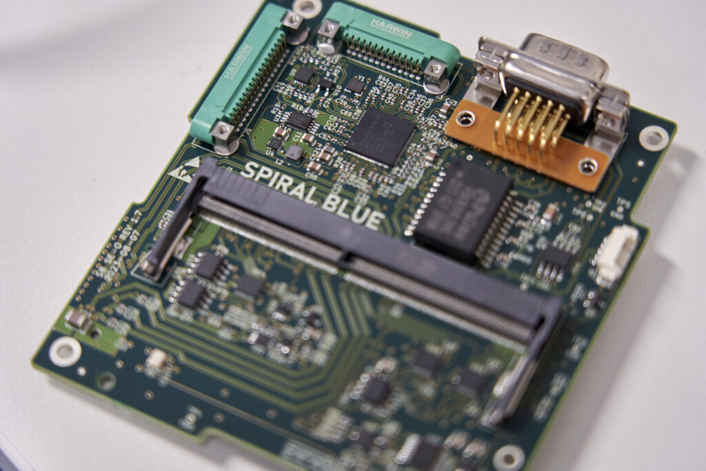
Sapphire is a class of LiDAR products developed by Spiral Blue, specifically designed for space applications, including rendezvous, proximity operations, and docking (RPOD). It is characterized by its low size, weight, and power (SWaP) consumption, making it suitable for deployment on fleets of spacecraft. The primary applications for Sapphire include supporting in-space assembly and manufacturing operations, as well as space control systems. Spiral Blue is a pioneer in edge computing in space, having launched 10 NVIDIA computers into orbit on customer and partner missions. These flight-proven computers provide the data management backbone for their LiDAR sensing systems, including Sapphire. The company also mentions the Teal constellation, which will deliver ground truth grade LiDAR data with targets of 1m horizontal accuracy and 10cm vertical accuracy, with near real-time revisit rates as the constellation expands. While Teal-0 is a UAS program and Teal-1+ is a satellite, Sapphire is explicitly stated as the first class of LiDAR products to reach space for RPOD.
Specifications
| Platform type | Space-as-a-Service / software deployment on in-orbit edge computers |
|---|---|
| Underlying hardware | SE-1 / SE-2 Space Edge Computers (Spiral Blue fleet) |
| First notable use | KaleidEO — first Indian company to demonstrate edge computing in space |