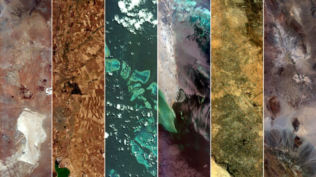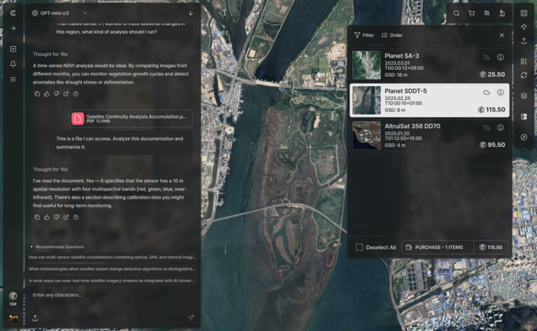

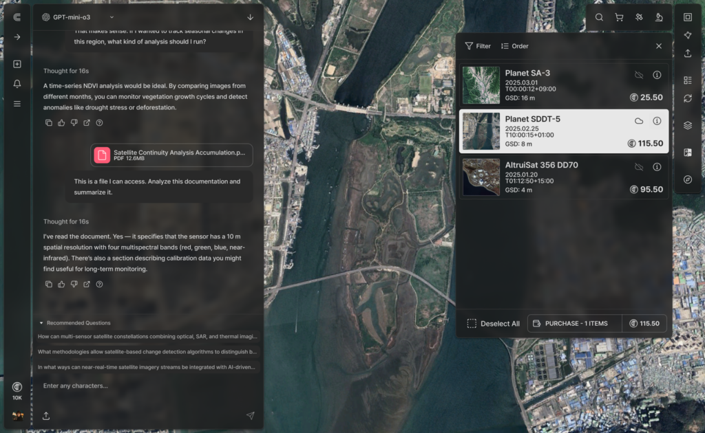
SatCHAT is an AI-powered geospatial intelligence platform that allows users to search and analyze satellite imagery using natural language, simplifying complex remote sensing tasks.
SatCHAT
SatCHAT is an AI-powered geospatial intelligence platform that allows users to search and analyze satellite imagery using natural language, simplifying complex remote sensing tasks.
Description
SatCHAT is an advanced AI-powered geospatial intelligence platform designed to transform raw satellite data into actionable insights. It enables users to interact with and analyze satellite imagery through natural language queries, streamlining traditionally complex remote sensing operations. The platform offers domain-specific intelligence solutions built on a single AI framework, catering to a variety of applications. These include high-precision blue carbon monitoring, which uses proprietary sub-pixel detection to identify floating algae in marine environments. For terrestrial applications, SatCHAT supports AI-powered monitoring for land cover classification, change detection, and data-driven land use enforcement. It also facilitates commodity monitoring by estimating volumes of raw materials like scrap metal, grains, and crude oil from satellite images, providing market-ready insights. Furthermore, SatCHAT enhances maritime intelligence through AI-powered vessel detection using both optical and SAR satellite imagery, cross-referencing with AIS and RF signals to support maritime regulation enforcement and coastal security operations.
Specifications
| Interface | Natural language query |
|---|---|
| Imagery sources | Optical and SAR |
| Detection capability | Sub-pixel detection |
| Data fusion | AIS/RF cross-referencing |
| Applications | Blue-carbon monitoring, land-use change detection, stockpile estimation, vessel detection |