
Wyvern's Dragonette hyperspectral imaging CubeSats providing 420–1000 nm spectral data for precision agriculture, forestry, water quality, and minerals mapping.
Dragonette Hyperspectral Satellite
Wyvern's Dragonette hyperspectral imaging CubeSats providing 420–1000 nm spectral data for precision agriculture, forestry, water quality, and minerals mapping.
Description
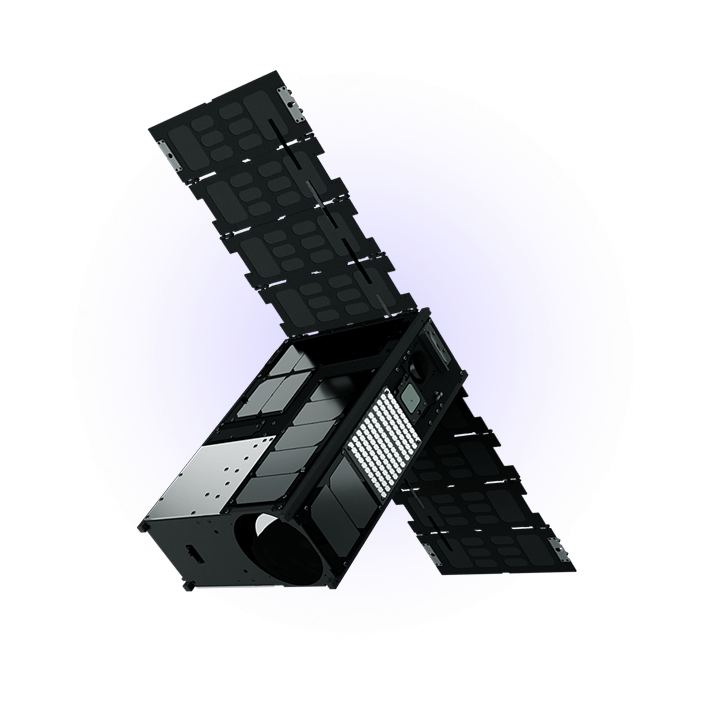
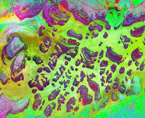
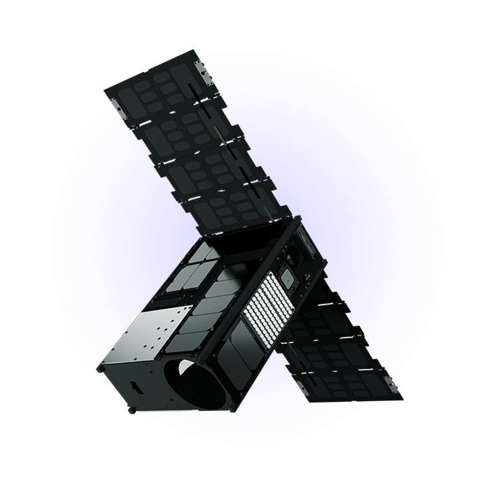
Wyvern (formerly Satellite Applications Canada Ltd.) operates Dragonette, a series of hyperspectral imaging CubeSats providing spectral data across the 420–1000 nm visible and near-infrared range. Unlike multispectral cameras that capture 4–8 discrete bands, Wyvern's hyperspectral imager captures 100+ narrow contiguous spectral bands, enabling identification and quantification of specific materials and chemical compositions that multispectral imagery cannot distinguish.
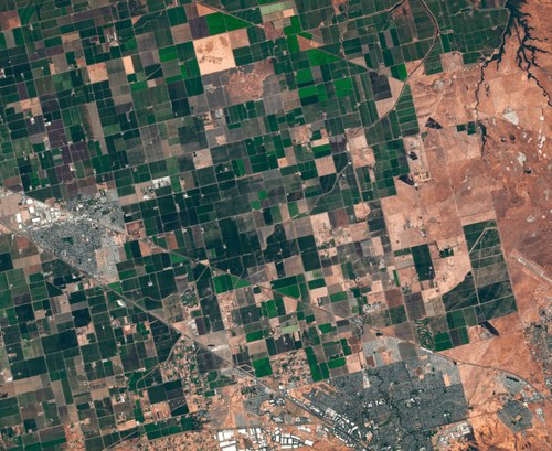
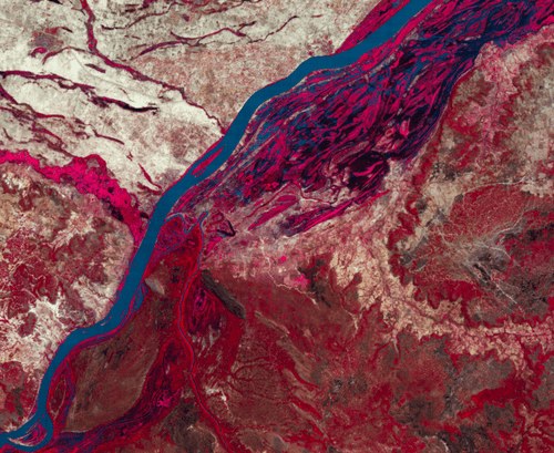
Dragonette's 1.5 m spatial resolution combined with its hyperspectral capability enables crop stress detection at specific spectral signatures of plant diseases, moisture content, and nitrogen levels. Forestry applications include detecting invasive species (which have distinct spectral signatures from native trees), forest health monitoring, and illegal logging detection. Water quality monitoring can detect algae bloom composition, sediment load, and pollutant markers. Mining and mineral exploration companies use the data for surface geology mapping and identifying target mineralization from orbit.
Wyvern is headquartered in Edmonton, Alberta, Canada. The company is pursuing a constellation of 10+ Dragonette satellites to provide sub-weekly revisit of agricultural growing areas during critical crop development periods. The company raised significant funding from Canadian government innovation programs and private investors.
Specifications
| Spectral range | 420–1000 nm (VIS + NIR) |
|---|---|
| Spectral bands | 100+ contiguous bands (hyperspectral) |
| Spatial resolution | 1.5 m |
| Form factor | CubeSat (Dragonette series) |
| Applications | Precision agriculture, forestry, water quality, mineral exploration |
| HQ | Edmonton, Alberta, Canada |