Space Hardware Marketplace

14 flight-proven satellite platforms, components and ground equipment from verified manufacturers worldwide.

14 products Reset
Payloads & Instruments

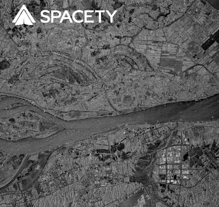
Dual-Band SAR Constellation

Spacety
  • Radar bandsC-band and X-band (dual-band)
  • Imaging capabilityDay and night, all-weather (rain or shine)
  • Coverage goalReal-time imagery of every point on Earth

C-band and X-band Synthetic Aperture Radar constellation for day/night, all-weather Earth imaging.

Satellite Platforms

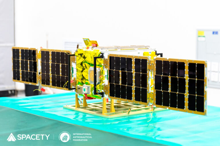
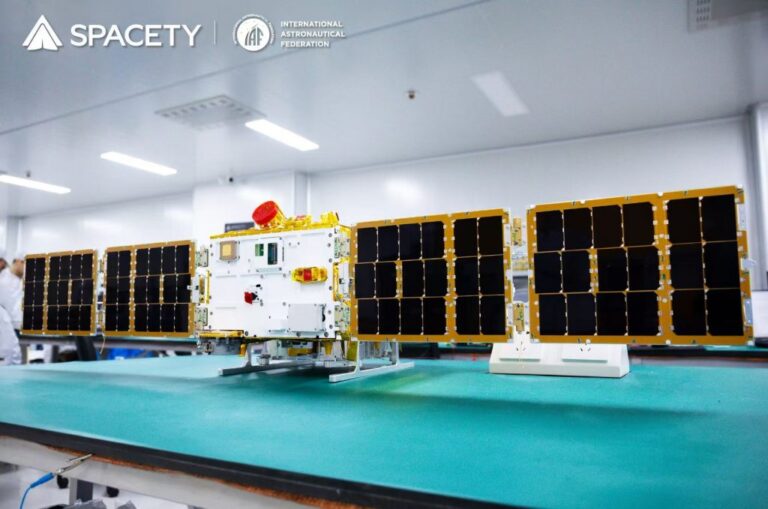
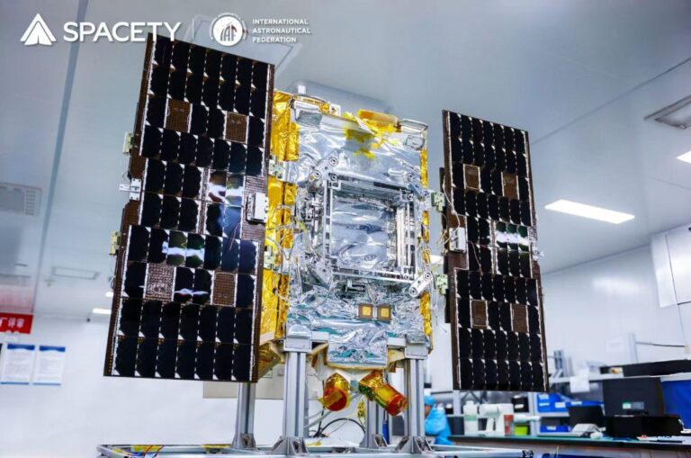
Spacety Cubesat / Smallsat Platforms

Spacety
  • Platform sizes offered6U, 12U cubesat/smallsat buses
  • Flight heritage20+ satellite missions flown
  • Typical mission typesEarth observation, satellite communication, navigation, science, technology demonstration

Low-cost, high-performance cubesat and smallsat bus product line, flight-proven over 20+ missions.
Satellite Platforms

TY34 (SUSTech-1) Space Science Microsatellite

Spacety
  • Electric-field antenna lengthup to 12 m (world-record length for a microsatellite)
  • Aurora observation duration9 minutes of continuous observation per polar pass
  • PayloadsElectric-field measurement payload, aurora camera, Tiange gamma-ray burst detector, CXPD X-ray polarimeter, IP-based ground-link terminal, thermoelectric conversion verification unit

Microsatellite platform hosting a 12 m ultra-long electric-field antenna and aurora camera for magnetosphere and space-weather research.

Communications

TY45/TY46 (BUPT-2/3) Laser-Comm Testbed Satellites

Spacety
  • Laser communication data rate200 Gbps
  • Laser communication range2,000 km
  • PropulsionKaufman electric propulsion; Xingcheng-II argon ion thruster (TY45)

Tiansuan Constellation testbed satellites carrying 200 Gbps laser communication payloads, onboard servers, and electric propulsion for 6G space-network…

Payloads & Instruments

TY42 (Shenqi-2) C-band SAR Satellite

Spacety
  • SAR bandC-band
  • Special capabilityOperational InSAR (interferometric SAR) for millimeter-level deformation monitoring
  • Constellation revisit cycle3-4 days (with Shenqi-1 and Fucheng-1)

Next-generation lightweight, low-cost C-band SAR satellite with operational InSAR capability for millimeter-level surface deformation monitoring.

Payloads & Instruments

TY29 (DIZHI-1) Hyperspectral Remote Sensing Satellite

Spacety
  • Spectral range410 nm - 2,480 nm (hyperspectral)
  • Detection technologyTDI (Time-Delay Integration) multi-spectral visible-light detection; infrared focal-plane filter spectral splitting
  • Lead institutionChina University of Geosciences (Wuhan)

Hyperspectral geological remote sensing satellite (410-2480 nm) developed with China University of Geosciences for mineral, soil and water-pollution…

Payloads & Instruments

Chaohu-1 SAR Satellite

Spacety
  • SAR bandC-band
  • Generation2nd-generation Spacety commercial SAR satellite (after Hisea-1)
  • Data delivery timeWithin 6 hours of acquisition (emergency imaging)

Second-generation commercial C-band SAR satellite, launched February 2022, with improved resolution, swath, downlink, and onboard AI data processing.

Satellite Platforms

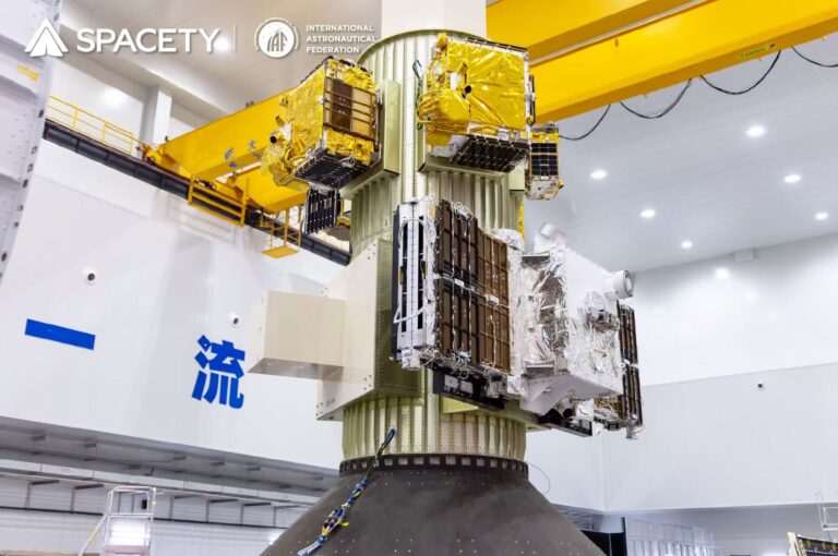
Satellite-as-a-Service (SataaS)

Spacety
  • Platform sizes offered6U, 12U
  • Missions completed20 satellite missions in less than 5 years
  • Flight cadence~4 flights per year

Shared 6U and 12U smallsat platforms with end-to-end launch, hosting, and data-delivery services for in-orbit demonstration and verification…

Payloads & Instruments

SAR Constellation (Dual C/X-band)

Spacety
  • Radar bandsC-band and X-band (dual-band)
  • CoverageGlobal, every point on Earth
  • Operating conditionsDay and night, all-weather (rain or shine)

Dual-band (C-band and X-band) commercial SAR Earth-observation constellation providing real-time day/night, all-weather imagery of any point on Earth.

Software & Services

Satellite Data-as-a-Service (DaaS)

Spacety
  • Data sourcesSpacety-owned optical EO satellites, Spacety SAR constellation, plus imagery distributed from tens of third-party satellites
  • Application sectorsAgriculture & forestry, oil & gas, environment, water management, disaster management, marine surveillance, infrastructure/building monitoring, safety & security

Optical and SAR satellite image data delivery service for agriculture, energy, environment, disaster response, marine surveillance, and infrastructure…