AMRT™ Satellite Mineral Exploration Survey
 CC Explorations
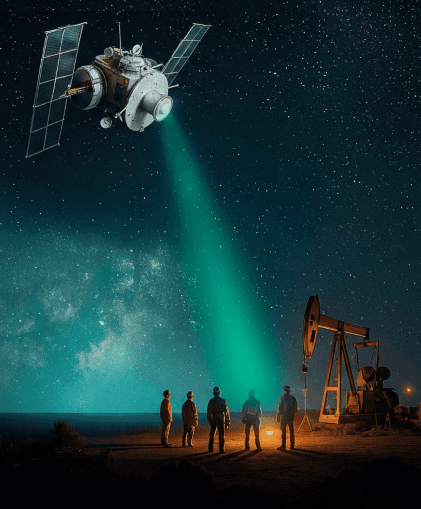
Satellite-based subsurface resource detection using AMRT™ (Atomic Mineral Resonance Tomography) — locates precious metals, hydrocarbons, and groundwater across 50+ countries with up to 93% accuracy.
Technical specifications
- Methodology
- Multispectral/hyperspectral imaging + gravitational/magnetic analysis + AI analytics
- Reported accuracy
- Up to 93% correlation with verified deposits
- Turnaround time
- 15–45 days
- Geographic reach
- 50+ countries
- Completed surveys
- 1,000+
- Target resources
- Precious metals, base metals, hydrocarbons, groundwater, subsurface anomalies
- Deliverable format
- Google KMZ maps, GPS coordinates, depth metrics, vein mapping, summary report
- 3d visualization
- CC GeoLab™ (Cesium-powered client portal)
About
CC Explorations’ AMRT™ (Atomic Mineral Resonance Tomography) platform combines multispectral and hyperspectral satellite imaging, gravitational and magnetic field analysis, geological and topographic modeling, and proprietary AI analytics to identify subsurface resources without field crews or invasive drilling. The methodology delivers turnaround in 15–45 days, with reported accuracy of up to 93% correlation against verified deposits and known subsurface targets.
AMRT™ surveys cover the full range of economically significant subsurface targets: precious metals (gold, silver), base metals (copper, lithium, rare earths), hydrocarbons (oil and gas), groundwater and aquifer mapping, and archaeological anomalies. The technology has been deployed across more than 50 countries with over 1,000 completed surveys.
Deliverables include drill-ready target maps in Google KMZ format, GPS coordinates for recommended drill locations, depth profiles from surface to target formations, vein orientation and spatial continuity analysis, and a written summary report with actionable recommendations. The CC GeoLab™ companion platform enables clients to interact with results in a 3D Cesium-powered geospatial visualization environment, overlaying satellite data, geological models, and exploration history in a unified interface.
Documentation
No public datasheet yet — request the datasheet / ICD from the supplier.