Global Survey Third-Party Emissions Data
 GHGSat
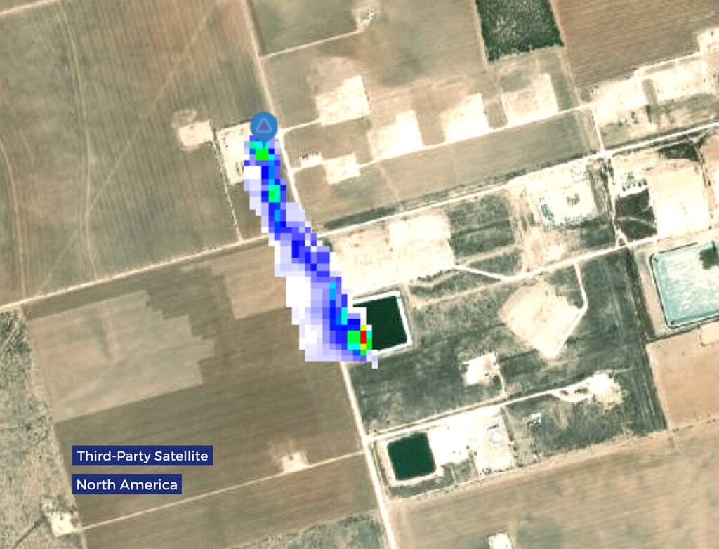
GHGSat's data layer aggregating and analyzing large industrial methane emissions detected by third-party satellites worldwide, made accessible and actionable through GHGSat's proprietary analytics.
Technical specifications
- Data sources
- Public and private third-party satellite methane datasets, worldwide or region-specific
- Delivery platform
- SPECTRA (GHGSat client platform, built on ESRI GIS technology)
- Key capability
- Detection, verification and alerting of large industrial methane events near client facilities
- Integration
- Can be cross-verified with GHGSat's own satellite constellation (DATA.SAT)
- Total methane emissions detected in 2023
- 378 MTCO2e
- Countries with detected methane emissions in 2023
- 85
- Unique area surveyed in 2023
- > 4M km2
- Average site emissions rate (Waste)
- 1,250 kg/hr
- Average site emissions rate (Mining)
- 878 kg/hr
- Average site emissions rate (Oil & Gas)
- 245 kg/hr
- Lowest detected source rate from offshore O&G in 2023
- 182 kg/hr
- Facility measurements in 2023 (DATA.AIR)
- 24,000
- Emissions mitigated in 2023 (DATA.AIR)
- 275,000 CO2e
About
Global Survey shares insights on large industrial methane emissions detected by third-party satellites worldwide or over specific regions of interest. Public and private third-party satellite emissions data is useful and sheds light on large greenhouse gas events worldwide, but organizations often lack the expertise to process, manage and decipher these vast quantities of data for daily operations and business decisions.
GHGSat’s third-party data analysis delivers accurate and timely emissions data – including emission rate and coordinates – to inform emissions monitoring strategy. The interoperability of data between different satellite systems is technically complex; GHGSat’s powerful analytics and machine learning make these third-party satellite emissions datasets more accessible and faster to act on for carbon-intensive industrial operations. Global Survey results are delivered as a methane concentration dataset on GHGSat’s SPECTRA platform, where GHGSat’s own high-resolution satellite constellation can then verify and validate unusual emission activity flagged by third-party data – giving customers alerts on emissions near their facilities and the ability to investigate further with GHGSat’s own high-resolution monitoring.
Documentation
Need the full ICD, test reports or a specific revision? Ask the supplier directly.