Next-Generation Intelligent Remote Sensing Satellite
 Hongqing Technology (鸿擎科技)
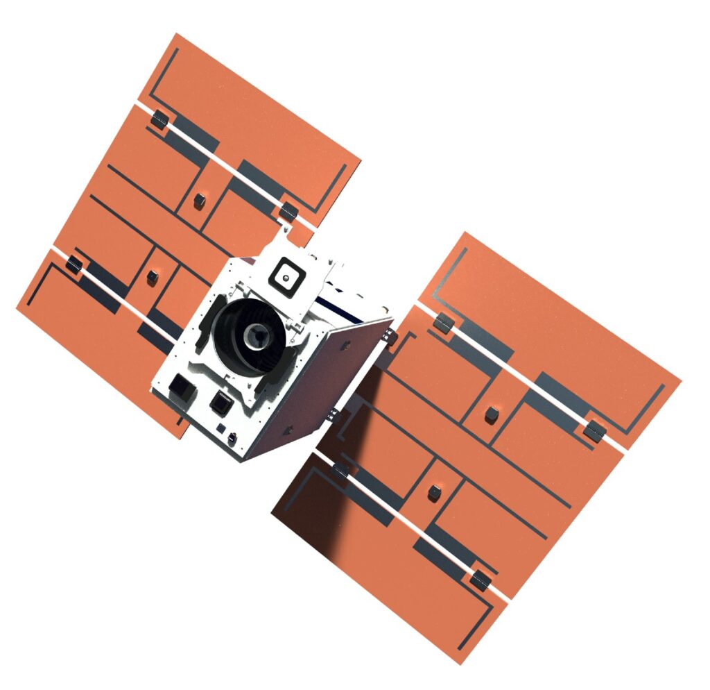
Hongqing Technology next-generation intelligent remote sensing satellite represents a paradigm shift from traditional sky sensing and ground computing to sky computing and sky application. Acting as a super perception engine, it drives the digital economy through onboard AI processing, high-speed laser communication, and multi-source sensing modalities including optical, synthetic aperture radar (SAR), and infrared. Each […]
Technical specifications
- Orbit
- Low Earth Orbit (LEO)
- Onboard ai computing power
- >=200 TOPS @ INT8 per satellite node
- Laser inter-satellite link speed
- >=100 Gbps
- Optical (panchromatic) resolution
- 0.5 m, 1 m
- SAR resolution
- 0.5 m, 1 m
- Sensing modalities
- Optical, SAR, Infrared
- Processing architecture
- Onboard AI (sky computing)
- Data delivery
- Real-time onboard processing and application
About
Hongqing Technology next-generation intelligent remote sensing satellite represents a paradigm shift from traditional sky sensing and ground computing to sky computing and sky application. Acting as a super perception engine, it drives the digital economy through onboard AI processing, high-speed laser communication, and multi-source sensing modalities including optical, synthetic aperture radar (SAR), and infrared.
Each satellite node is equipped with at least 200 TOPS of INT8 AI computing power, enabling real-time onboard data processing and intelligent analysis without the latency of ground downlink. High-speed laser inter-satellite communication at over 100 Gbps connects the constellation into a seamless orbital intelligence network. The system supports panchromatic optical imaging at 0.5 m and 1 m resolution and SAR imaging at equivalent resolutions.
Application scenarios include emergency disaster relief with rapid-response high-resolution imaging, resource and environmental management, support for the low-altitude economy including urban air mobility and drone corridor planning, and integrated multi-source data fusion for advanced analytics.
Documentation
No public datasheet yet — request the datasheet / ICD from the supplier.