aGRT Aerial Georadiotomography
 Lunasonde
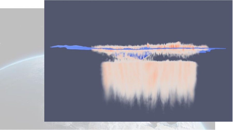
Aerial radar technology generating 3D subsurface composition maps from the air with zero drilling or ground disturbance — operates at frequencies 1000x lower than traditional radar.
Technical specifications
- Operating frequency
- ~1000x lower than traditional radar
- Demo survey altitude
- Up to 10,000 ft
- Permittivity readings
- Copper ore 10.2, granite 3.0
- Claimed efficiency
- 10x faster and cheaper exploration
- Ground disturbance
- Zero (fully aerial, no drilling)
About
aGRT (Aerial Georadiotomography) is Lunasonde’s aerial radar technology that generates three-dimensional subsurface composition maps entirely from the air, requiring zero drilling or ground disturbance. The system operates at radar frequencies roughly 1000 times lower than traditional ground-penetrating radar, enabling much deeper subsurface penetration and material characterization. Demonstration surveys have been conducted from altitudes up to 10,000 feet, with the technology able to distinguish material permittivity signatures — for example, copper ore at 10.2 versus granite at 3.0 — enabling resource exploration claimed to be 10x faster and cheaper than conventional methods. While developed for terrestrial mineral exploration, the underlying technology has applications for planetary subsurface sensing.
Documentation
No public datasheet yet — request the datasheet / ICD from the supplier.