GRAPHIUM Very High Resolution Telescope
 Satlantis
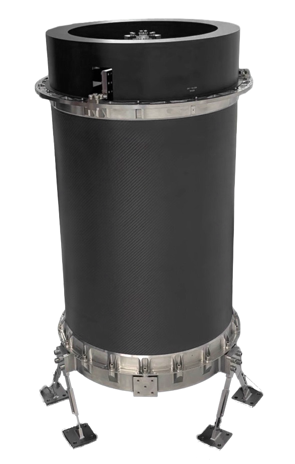
50 cm/pixel VHR optical telescope for small satellites with video capability — custom-designed, COTS radiation-tolerant components, advanced manufacturing, unprecedented mass-to-resolution ratio.
Typed specifications1 values
Discloses 1 of 14 fields engineers filter by in this category (category median 4).
- Ground sample distance (GSD)
- 0.5 m description
Each value is typed with its unit and measurement condition and cites the datasheet page it was taken from. Nothing is guessed: a field that is absent here has not been published by the manufacturer. machine-extracted ✓ checked by NewSpace Market ✓ manufacturer confirmed by the manufacturer.
As published by the supplier5 lines, in the manufacturer's own wording
- Ground resolution
- 50 cm/pixel
- Modes
- Imaging and video
- Components
- COTS radiation-tolerant (LEO)
- Design approach
- Custom designed for small satellites, first principles
- Spectral capability
- Panchromatic and multispectral
About
GRAPHIUM is SATLANTIS’s very high-resolution (VHR) optical telescope for small satellites, delivering 50 cm per pixel ground sample distance with both imaging and video capabilities. Custom-designed from first principles for integration on small satellite buses, GRAPHIUM achieves an unprecedented resolution-to-mass ratio through a combination of advanced optical design, COTS radiation-tolerant detectors and processors for LEO, and advanced manufacturing procedures.
The telescope is engineered to compete with the performance characteristics of traditional large satellite imaging systems while fitting within the physical and mass constraints of a small satellite mission profile. Key design priorities include best cost reduction compared to traditional imaging systems of similar resolution, use of the latest advances in electronics for detector and processing performance, and incorporation of modern manufacturing techniques.
GRAPHIUM supports panchromatic, multispectral, and video imaging modes with a wide operating spectral range, and integrates into SATLANTIS’s end-to-end satellite solution architecture. Applications include defense and security intelligence, methane and environmental monitoring, infrastructure inspection, precision agriculture, and urban mapping at resolutions comparable to traditional very large satellites.
Documentation
No public datasheet yet — request the datasheet / ICD from the supplier.