SkyBlueprint™
 Space DOTS
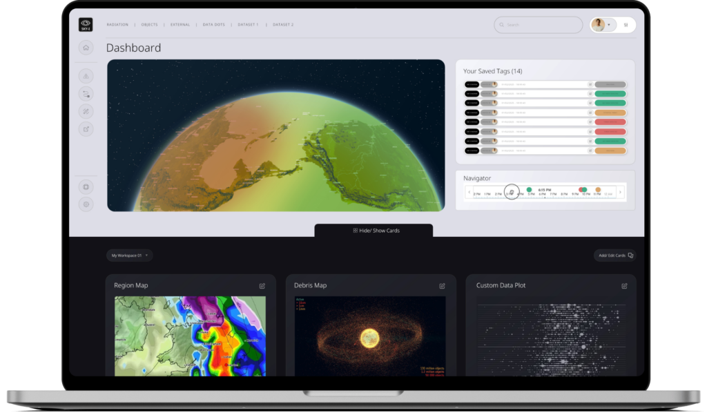
SkyBlueprint™ is a mission planning software that automates the evaluation of environmental conditions across proposed flight paths to optimize spacecraft design and mission parameters.
Technical specifications
- Function
- AI-powered environmental hazard evaluation and mission-planning recommendations
- Data integration
- Real-time Data DOTS sensor data plus predictive modeling
- Use cases
- Constellation deployments, interplanetary missions, defence operations
About
SkyBlueprint™ is a sophisticated mission planning software designed to revolutionize traditional approaches by automating the evaluation of environmental conditions across proposed flight paths. It identifies potential hazards and recommends precise design modifications or operational adjustments to maximize mission success probability. The platform seamlessly integrates real-time environmental data from DataDOT™ sensors with predictive modeling algorithms to deliver actionable mission blueprints. This process aims to reduce overdesign margins, optimize resource allocation, and provide the confidence needed for ambitious space missions. SkyBlueprint™ enables mission planners to make data-driven decisions based on actual space environmental conditions, moving away from conservative estimates. It automates complex risk assessments and provides clear visualization of mission trade-offs, empowering operators to push boundaries while maintaining essential safety margins. Its applications include planning constellation deployments, interplanetary missions, and defense operations.
Documentation
No public datasheet yet — request the datasheet / ICD from the supplier.