Natural Catastrophe Monitoring Solutions
 ICEYE
ICEYE
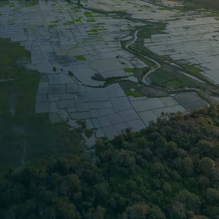
ICEYE provides near real-time hazard and damage data for natural catastrophes like floods, hurricanes, and wildfires to various organizations.
About this service
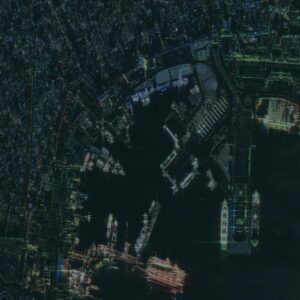
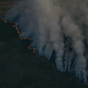
ICEYE’s natural catastrophe monitoring solutions provide near real-time hazard and damage data for commercial and non-commercial organizations. This service utilizes SAR satellite technology to deliver observed flood extents and depths, hurricane impact data, and building-level damage detection for wildfires. The data is provided as GIS-compatible files and summary reports, often within hours of an event, enabling rapid assessment, response, and risk management for insurance, government, banking, and utilities sectors.