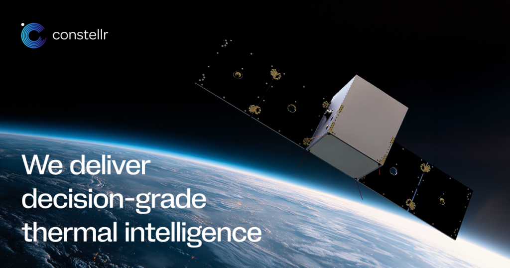

Constellr's thermal infrared (TIR) satellite constellation monitoring global land surface temperature for precision agriculture, water stress, and climate applications.
Land Surface Temperature Monitoring Constellation
Constellr's thermal infrared (TIR) satellite constellation monitoring global land surface temperature for precision agriculture, water stress, and climate applications.
Description
Constellr is a German space startup developing a constellation of thermal infrared (TIR) imaging satellites to measure land surface temperature (LST) globally with sub-daily revisit — enabling precision monitoring of crop water stress, evapotranspiration, drought, and urban heat islands from space. The company is headquartered in Freiburg, Germany, and was spun out of research at the University of Freiburg.
Constellr's satellites operate in the thermal infrared (8–12 μm) spectral band, which directly observes thermal radiation emitted by the Earth's surface — allowing measurement of absolute temperature to ±0.5 K accuracy and differential temperature changes relevant to plant stress. Land surface temperature is closely correlated with crop water stress: transpiring healthy crops are cooler than water-stressed crops, enabling early detection of drought stress before visible damage appears.
For agriculture, Constellr's LST data enables irrigation scheduling optimization, yield prediction, and insurance parametrics. For climate applications, the data tracks urban heat islands, contributes to evapotranspiration estimation for water resource management, and provides input to land surface models. Constellr has partnered with ESA through the third-party mission program and has raised significant venture funding from agricultural and climate-focused investors. Their commercial data service targets global food producers, agtech platforms, insurers, and government agencies.
Specifications
| Sensor | Thermal infrared (TIR) imager, 8–12 μm |
|---|---|
| Temperature accuracy | ±0.5 K |
| Applications | Crop water stress, irrigation scheduling, evapotranspiration, urban heat islands |
| Revisit | Sub-daily (constellation target) |
| Customers | Agtech, food producers, insurers, government water agencies |
| HQ | Freiburg, Germany (University of Freiburg spin-out) |
| Partners | ESA third-party mission program |