About iQPS (Institute for Q-shu Pioneers of Space)
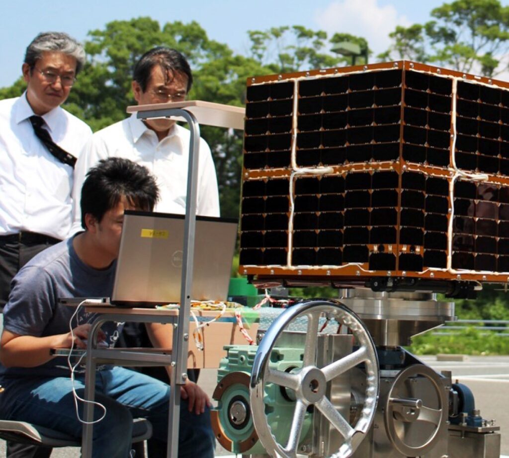
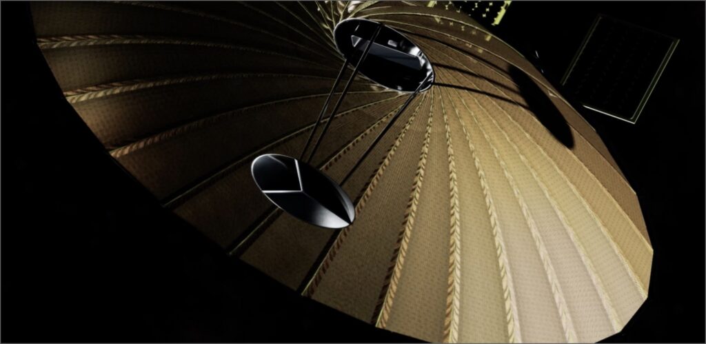
Institute for Q-shu Pioneers of Space, Inc. (iQPS) is a Japanese space company headquartered in Fukuoka, founded in June 2005 by emeritus professors of Kyushu University and a former Mitsubishi Heavy Industries rocket engineer, building on more than two decades of small-satellite development experience at Kyushu University. The company designs, manufactures, launches, and operates its own constellation of small synthetic aperture radar (SAR) satellites, named QPS-SAR, providing high-resolution radar imagery of the Earth's surface day or night and in any weather.
iQPS has launched a series of QPS-SAR satellites (named after Japanese deities, including IZANAGI, IZANAMI, AMATERU, TSUKUYOMI, SUSANOO, WADATSUMI, YAMATSUMI, KUSHINADA, YACHIHOKO, and SUKUNAMI), reaching commercial imaging resolutions as fine as 46 cm in Spotlight mode. The company's stated goal is to build a constellation of 24 satellites by May 2028 and expand to 36 satellites by 2030, enabling a Near-Real-Time Data Provisioning Service capable of observing specified regions almost anywhere on Earth at an average revisit interval of roughly 10 minutes.
The company listed on the Tokyo Stock Exchange Growth Market in December 2023 and later reorganized under a holding company structure (QPS Holdings Inc.) in December 2025, with iQPS operating as the satellite development, manufacturing, and data-services subsidiary. iQPS works with more than 25 partner companies, mainly in the Kyushu region of Japan, and has raised significant funding rounds and government grants (including Japan's METI SBIR Phase 3 program) to fund its constellation buildout, alongside launch agreements with Rocket Lab for its Electron vehicle.
iQPS offers its SAR imagery and tasking through a customer-facing console supporting new observation orders (tasking) and search/purchase of archived SAR imagery, with API integration for customer systems.
Milestones
-
2005 iQPS founded by Kyushu University emeritus professors and a former MHI rocket engineer.
-
2019 First QPS-SAR small SAR satellite, IZANAGI, launched from Satish Dhawan Space Centre.
-
2023 Listed on the Tokyo Stock Exchange Growth Market; AMATERU-III achieves 46 cm commercial SAR resolution.
-
2028 Target: 24-satellite QPS-SAR constellation.
-
2030 Target: 36-satellite QPS-SAR constellation with ~10-minute average revisit.