
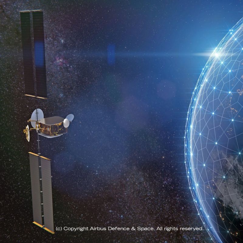


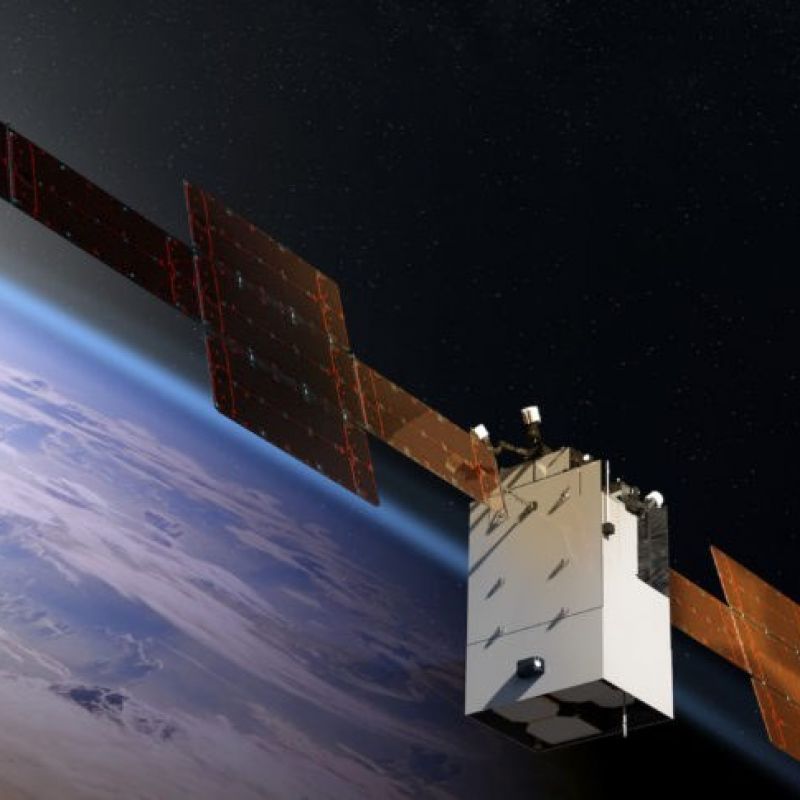

Kythera Space Solutions' autonomous GNC software for proximity operations — collision avoidance, rendezvous and docking, formation flying, and inspection vehicle guidance without constant ground-in-the-loop commands.
Autonomous Guidance Navigation and Control Software
Kythera Space Solutions' autonomous GNC software for proximity operations — collision avoidance, rendezvous and docking, formation flying, and inspection vehicle guidance without constant ground-in-the-loop commands.
Description
Kythera Space Solutions develops autonomous Guidance, Navigation and Control (GNC) software for in-space proximity operations — enabling satellites to safely execute rendezvous, inspection, formation maintenance, and avoidance maneuvers without requiring continuous ground station contact. As in-space operations grow more complex, ground-in-the-loop GNC is becoming a bottleneck; autonomous onboard decision-making is essential for responsive and safe proximity operations.
Kythera's GNC algorithms operate in real time using onboard sensors (cameras, LIDAR, IMU) to determine the vehicle's position and attitude relative to a target object, plan safe approach/departure trajectories, and execute thrusters maneuvers to follow those trajectories — all without waiting for ground commands. Safety is enforced through guaranteed-safe exclusion zones and termination conditions that halt maneuvers if sensor data becomes unreliable.
Key applications include: inspection vehicle guidance (orbiting a GEO satellite to image all surfaces); active debris removal approach (controlled rendezvous with a tumbling derelict); servicing vehicle docking (fuel transfer, component replacement); and constellation formation maintenance (autonomous station-keeping to maintain relative spacing). Kythera's software is designed to be integrated into third-party spacecraft computers and is compatible with NASA's CCSDS proximity operations standards.
Specifications
| Product | Autonomous GNC software for proximity operations (onboard, no ground loop) |
|---|---|
| Sensors | Vision-based (cameras, LIDAR) + IMU for relative navigation |
| Applications | Inspection, rendezvous/docking, ADR approach, formation maintenance |
| Safety | Guaranteed-safe exclusion zones + termination conditions |
| Standards | NASA CCSDS proximity operations compatible |
| Integration | Software library for integration into spacecraft OBCs |