High Altitude Pseudo Satellites (HAPS)
 b2space
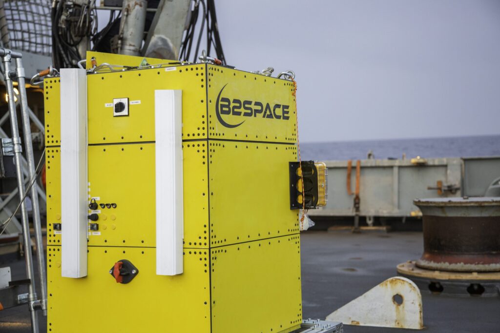
HAPS are considered the 'missing link' between drones flying close to Earth’s surface and satellites orbiting in space, offering versatile applications for communications and remote sensing.
Technical specifications
- Flight duration
- up to 48h
- Cruise altitudes
- 14 - 37 km
- Payload
- <500Kg
About
B2Space’s High Altitude Pseudo Satellites (HAPS) are a versatile platform designed to bridge the gap between terrestrial drones and orbital satellites. These platforms can fly over areas of interest worldwide, on request, all year round, providing real-time information and images. A key benefit is the ability to recover, maintain, update, and change the payload and instruments, ensuring adaptability for various missions. HAPS offer a low-cost, safe, and controlled solution with fast and easy implementation in specific areas of interest.
Potential applications for HAPS are diverse, primarily leveraging their communication and remote sensing capabilities. These include smart agriculture, fire detection, and environmental control for Earth observation. In telecommunications, HAPS can facilitate emergency communications during disasters, eliminate communication ‘dark areas’ for maritime and airplane routes, and support smart applications. For surveillance, HAPS can be used for border control, illegal fishing detection, and monitoring oil spills. The platform boasts flight durations of up to 48 hours, cruise altitudes ranging from 14 to 37 km, and can carry payloads of less than 500 kg.
Documentation
No public datasheet yet — request the datasheet / ICD from the supplier.