HyperSat Hyperspectral Imaging Constellation
 HyperSat
Six-satellite LEO constellation capturing Earth imagery across 500 narrow spectral bands — AI/ML-processed Metadata Hypercubes, 6m GSD, NOAA-licensed. Selected by the NRO under the CASE program (2023).
Technical specifications
- Number of satellites
- 6 (planned full constellation)
- Orbit
- Low Earth Orbit (LEO)
- Spectral bands
- 500 narrow contiguous bands
- Spectral range
- Visible through SWIR; LWIR on later satellites
- Ground sample distance (GSD)
- ~6 meters
- Noaa licensed resolution (government)
- 4 meters
- Noaa licensed resolution (commercial)
- 10 meters
- Surface coverage
- >510 billion m²
- Data product
- Metadata Hypercubes (AI/ML processed 3D spectral datasets)
- Payload design lead
- QinetiQ (with Redwire, Millennium Engineering, Brandywine Photonics)
- Government program
- NRO CASE (Commercial Hyperspectral Capabilities for Strategic Commercial Enhancements, March 2023)
- Series b funding
- $85 million (led by Incentrum Group)
About
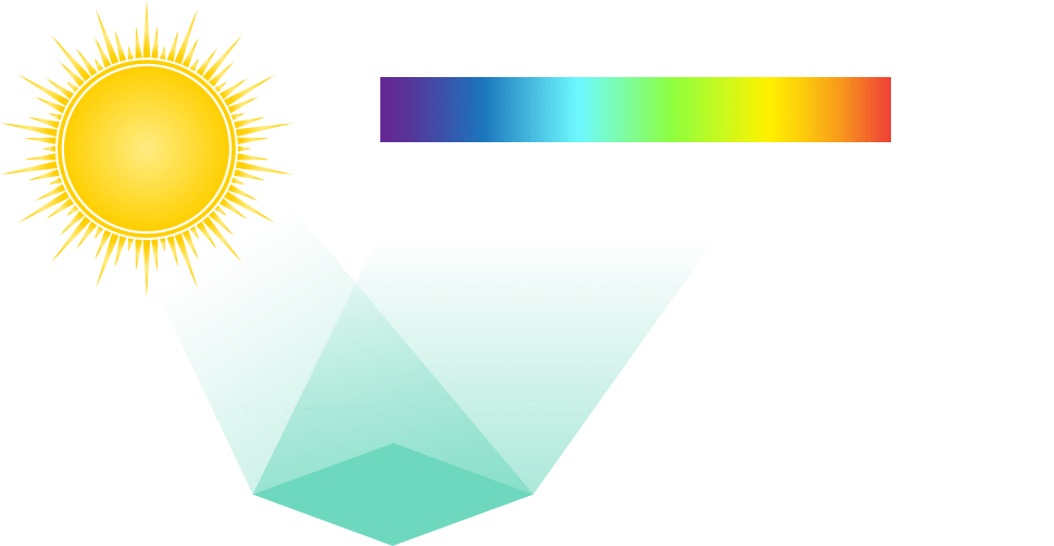
HyperSat’s Hyperspectral Imaging Constellation is the world’s first commercial high-resolution hyperspectral imaging network — a planned six-satellite Low Earth Orbit system in which each satellite captures reflected sunlight across 500 narrow spectral channels from the visible through shortwave infrared (SWIR) spectrum, with longwave infrared (LWIR) capability added on later satellites. The system achieves a ground sample distance of approximately 6 meters, enabling identification of materials and objects at sub-pixel precision — far beyond what conventional panchromatic or multispectral satellites can detect.
At the core of HyperSat’s data value chain is the proprietary Metadata Hypercube — a three-dimensional dataset that fuses raw hyperspectral imagery with publicly and commercially available remote sensing data and ancillary feeds. Using AI/ML algorithms, big data analytics, and spectral analysis, the Hypercubes translate raw spectral measurements into actionable intelligence: identifying chemical composition of materials, detecting gas leaks, revealing crop stress, spotting camouflaged military assets, and characterizing mineral deposits from orbit.
HyperSat holds a NOAA license as the first commercial provider authorized to distribute high-resolution hyperspectral satellite imagery, with 4-meter resolution data available to U.S. government customers and 10-meter resolution for commercial users. In March 2023, the National Reconnaissance Office selected HyperSat under its Commercial Hyperspectral Capabilities for Strategic Commercial Enhancements (CASE) program — alongside BlackSky, Orbital Sidekick, Pixxel, Planet, and Xplore — for satellite tasking, collection, processing, and distribution of hyperspectral imagery for national security applications.
The constellation provides global coverage with repeat viewing and change detection across more than 510 billion square meters of Earth’s surface. Target markets include defense and intelligence, resource extraction, agriculture and forestry, climate science, oil and gas infrastructure, insurance risk assessment, and disaster recovery. The satellite payload was designed with QinetiQ as lead, with Redwire, Millennium Engineering, and Brandywine Photonics as key partners.
Documentation
No public datasheet yet — request the datasheet / ICD from the supplier.