Multispectral Imagery
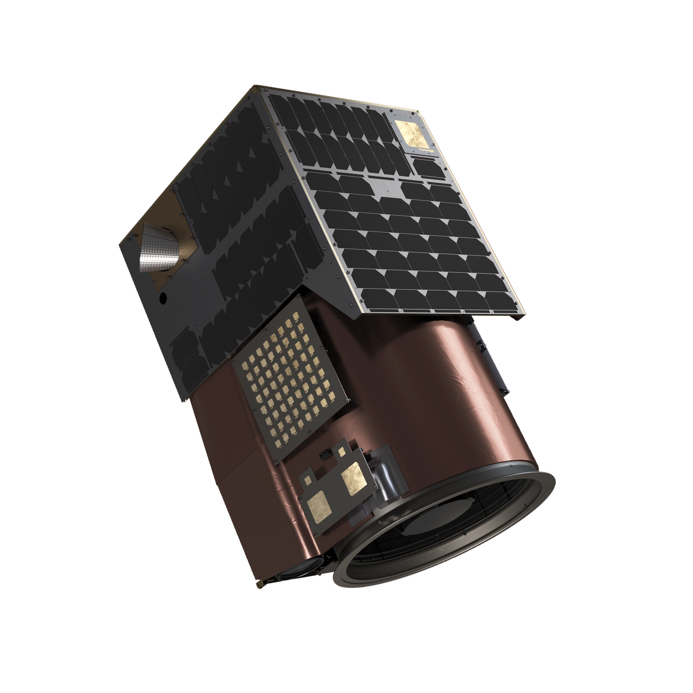 Satellogic
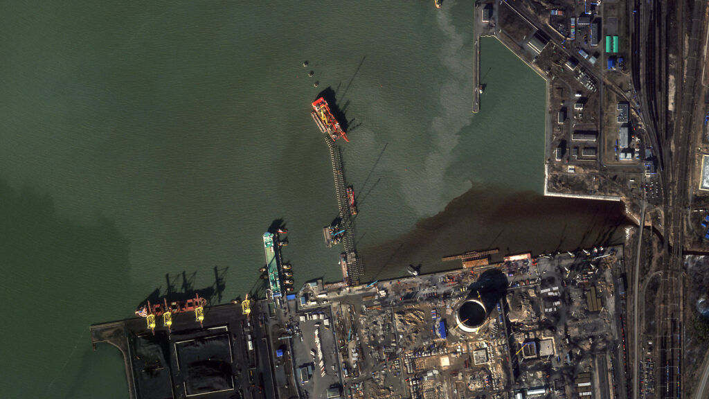
Satellogic offers affordable, high-frequency, and high-resolution multispectral imagery with low latency access for mission-critical applications.
Key figurescomparable across the catalogue
- Lead time
- 12 months
Normalised to common units so this product can be compared with others in its category. The supplier's own wording is below.
As published by the supplier
- Resolution
- Up to 50cm super resolution
- Frequency
- Multiple daily revisits
- Archive Orders Price
- $4 per km²
- Archive Orders Delivery Time
- 1 hr (if available), 12 hrs (if processing required)
- Standard Area Coverage Price
- $8 per km²
- Standard Area Coverage Delivery Time
- 72 hrs L1D_SR from collection
- Standard Tasking over POIs Price
- $10 per km²
- Standard Tasking over POIs Delivery Time
- 36 hrs L1D_SR from collection
- Rush Tasking over POIs Price
- $23 per km²
- Rush Tasking over POIs Delivery Time
- 6 hrs L1B, 24 hrs L1D_SR from collection
- Wavelengths
- Blue, Green, Red, NIR
- Swath Width
- 5 km – 6.5km at nadir
About
Satellogic’s Multispectral Imagery provides multiple daily revisits of any point of interest, utilizing patented technology to deliver imagery at up to 50cm super resolution. This high-resolution data is available at the industry’s most competitive price point, making it more affordable for training algorithms, monitoring change, and enhancing situational awareness globally. The imagery allows users to monitor economic activity and high-frequency changes to infrastructure and the natural environment with sub-meter detail. Available product formats include L1 Basic, L1 Ortho Ready, and L1 Ortho, with pixel resolutions ranging from native (70cm or 99cm) to 50cm GSD SuperResolution. Wavelengths covered are Blue, Green, Red, and NIR. The imagery is geocorrected or orthorectified, with geolocation accuracy up to 10m CE90 for terrestrial use. Data is delivered in GeoTiff format with ISO and STAC metadata, using WGS84 projection, and a swath width of 5 km – 6.5km at nadir. Use cases include maritime and terrestrial monitoring. Ordering and delivery are managed through the Aleph platform UI & API, with various pricing tiers for archive orders, standard area coverage, standard tasking, and rush tasking over points of interest.
Documentation
- Satellogic_Government-EULA_1.pdf PDF source: satellogic.com ↗
- Satellogic_Government-Plus-EULA_1.pdf PDF source: satellogic.com ↗
- Satellogic_Public-Release-EULA_1.pdf PDF source: satellogic.com ↗
Need the full ICD, test reports or a specific revision? Ask the supplier directly.