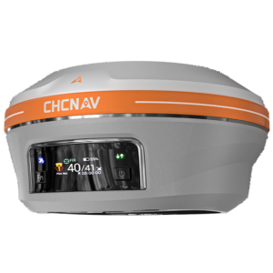
Geospatial Data Capture and Deliverables
 CHC Navigation / Huace Daohang
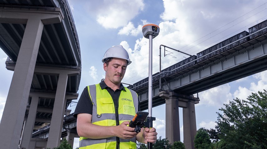
CHC Navigation provides geospatial data capture services using GNSS, LiDAR, and UAV systems to produce reliable spatial data deliverables for mapping and surveying.
About this service
CHC Navigation offers services for capturing spatial data using advanced geospatial technology, including GNSS, LiDAR, and UAV systems. This service is designed to transform mapping and surveying processes by integrating these technologies to achieve high-precision results. The company aims to empower professionals with smarter decisions and sustainable development through geospatial innovation, turning raw spatial data into reliable deliverables.