L-band GNSS Correction Services (PointSky)
 CHC Navigation / Huace Daohang
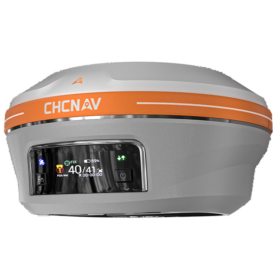
CHCNAV offers PointSky L-band GNSS correction services, providing real-time centimeter-level GNSS corrections via satellite for remote surveying.
About this service
CHCNAV provides PointSky L-band GNSS correction services, which deliver real-time centimeter-level GNSS corrections via satellite. This service is particularly beneficial for field teams working in remote locations where cellular coverage is limited, unstable, or unavailable, as it reduces dependence on a local base station, radio link, or NTRIP network service. It simplifies field logistics for topographic and remote infrastructure surveys by allowing surveyors to work with fewer setup requirements.