End to end design, development of all space borne and Hydrometeorology systems
Azista IndustriesAzista provides comprehensive design and development services for space-borne and hydrometeorology systems, leveraging 25 years of experience and…
1966 services from companies worldwide — launch slots, integration & testing, ground segment, insurance, licensing and mission support. Request a quote directly from the company.
Azista provides comprehensive design and development services for space-borne and hydrometeorology systems, leveraging 25 years of experience and…
Azista offers a full suite of capabilities including design, manufacturing, testing, and supply chain management to provide efficient…
Azista has in-house capabilities to engage in both Build-To-Print and Build-to-Spec models for manufacturing systems, sub-systems, and circuit…
Azista provides advanced testing services including RF testing and customized functional testing for electronic products and systems.
Azista offers HASS/Reliability testing, including Environmental Stress Screening (ESS), temperature cycling, and vibration tests, to ensure product robustness.
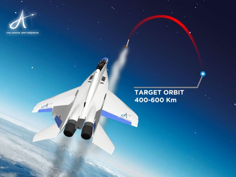
Celestia Aerospace offers consulting services to help businesses understand the potential of space, select the best payload for…
Celestia Aerospace constructs nanosats to customer specifications, either using proprietary standards or fully customized designs, and conducts a…
Celestia Aerospace provides data collection and nanosatellite management services after successful orbital insertion, handling all aspects of data…
Centum offers comprehensive services covering design, manufacturing, and turn-key build specifications, providing end-to-end solutions for customer projects.
Centum offers services to manage products throughout their entire lifecycle, ensuring sustained performance and support.
Centum offers engineering services with over 630 design engineers specializing in various electronic and mechanical domains to realize…
Centum offers a wide range of manufacturing solutions for high-mix, high-complexity products, from PCB assemblies to full system…
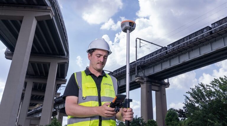
CHC Navigation provides geospatial data capture services using GNSS, LiDAR, and UAV systems to produce reliable spatial data…
CHC Navigation delivers and supports advanced machine control solutions for earthmoving equipment, enhancing precision, productivity, and efficiency on…
CHC Navigation provides services to optimize precision agriculture practices using smart farming solutions, including tractor guidance and auto-steering…
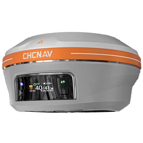
CHCNAV offers PointSky L-band GNSS correction services, providing real-time centimeter-level GNSS corrections via satellite for remote surveying.
C-COM offers educational and certification services to its customers, likely related to the use and maintenance of their…
Contec performs all necessary processes for satellite pass execution, including orbit information updates, pass plan registration, system initialization,…
These are saved in this browser only. Sign in and they move to your account, where they stay across devices.
We use cookies. Strictly necessary cookies keep the platform working. With your consent we also use Google Analytics to understand how the platform is used and improve it. We do not use advertising cookies. Cookie Policy · Privacy
How is your experience with the platform? Your message goes straight to our team.
Thank you! Your feedback has been sent to our team.