Albedo VLEO Imagery Products
 Albedo
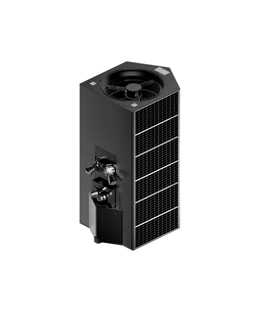
Albedo's 10 cm commercial satellite imagery data products — the highest resolution available from any commercial satellite — enabling vehicle-level identification from space.
Technical specifications
- Resolution (PAN)
- 10 cm (panchromatic)
- Resolution (MSI)
- 20–30 cm (multispectral)
- Orbit
- ~300 km VLEO
- Applications
- Military ISR, infrastructure inspection, environmental monitoring
- Data access
- US government classified; commercial access with vetting
- Comparable to
- Previously only available from classified reconnaissance satellites
About
Albedo’s primary commercial offering is its 10 cm panchromatic and 20–30 cm multispectral imagery data products from Clarity-1 satellites operating in VLEO (Very Low Earth Orbit, ~300 km). At 10 cm resolution, Albedo’s imagery can identify individual vehicle types, count personnel, read large text, and detect runway-level aircraft activity — capabilities previously available only from classified government spy satellites.
Albedo markets three primary use cases: Military and Intelligence (vehicle type identification, activity analysis at military bases, airfield/harbor monitoring), Infrastructure Monitoring (powerline inspection, pipeline condition, construction progress), and Environmental Assessment (glacier retreat, deforestation, mine activity, oil spill extent). At 10 cm, individual trees and road markings are clearly visible.
Due to the sensitive nature of 10 cm imagery, Albedo’s data is subject to export controls and US government oversight. Access for US defense and intelligence customers is classified; commercial access requires vetting. Albedo competes with classified national reconnaissance systems (e.g., NRO’s satellites) for the defense market and with Maxar’s 25–30 cm commercial imagery for commercial customers requiring the highest available resolution.
Documentation
No public datasheet yet — request the datasheet / ICD from the supplier.