Clarity
 Albedo
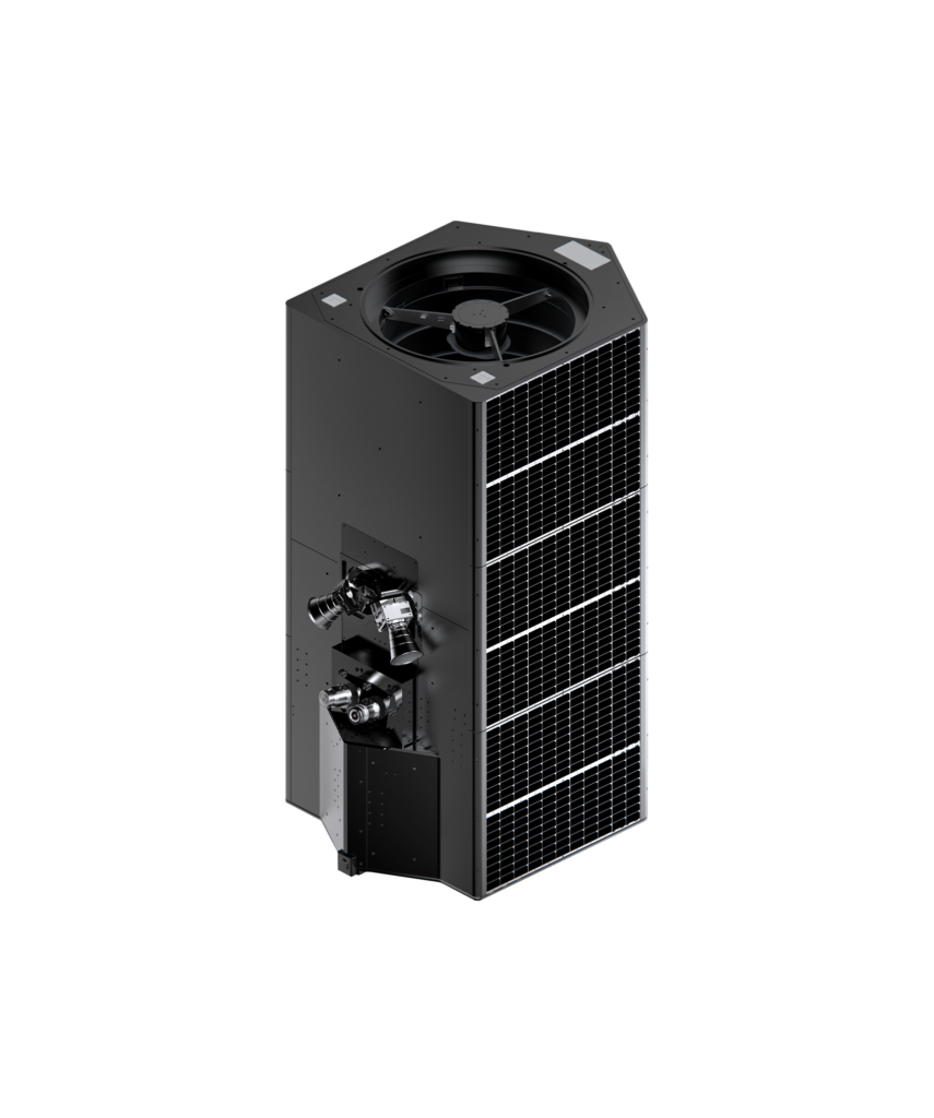
Albedo's Clarity system offers exquisite resolution imaging, powered by their in-house optical payload Verity, enabling precise observation and certainty in operations.
Technical specifications
- GSD – Panchromatic
- 10 cm, 400–700 nm
- GSD – Blue
- 40 cm, 450–510 nm
- GSD – Green
- 40 cm, 510–580 nm
- GSD – Red
- 40 cm, 630–690 nm
- GSD – NIR
- 40 cm, 770–895 nm
- GSD – Long Wave IR
- 2.0 meters, 7.5–13.5 µm
- Visible NIIRS*
- 7.0
- Geolocation Accuracy (CE90)
- 5.0 meters
- Daily Revisit
- 6 satellites
- Swath Width
- 3.6 km
- Latency
- 30 mins average capture to delivery
- Image Capacity
- 23,000 km² / day
About
The Clarity system is designed for very low Earth orbit (VLEO) operations, focusing on high-resolution imaging. It features a panchromatic Ground Sample Distance (GSD) of 10 cm, with additional GSDs for blue, green, red, and NIR bands at 40 cm, and a Long Wave IR GSD of 2.0 meters. The system achieves a Visible NIIRS* of 7.0 and offers configurable line rate and TDI up to 20,000 lps & 128 TDI. With an optical Q of 2.0 and a geolocation accuracy (CE90) of 5.0 meters, Clarity provides precise data. It boasts a daily revisit capability with 6 satellites and a swath width of 3.6 km. The system is engineered for the physics of operating below 400 km, incorporating sustained orbits, protective low-drag materials, and exponential performance. It also offers a low latency of 30 minutes average capture to delivery, which can be reduced to less than 5 minutes with an optical crosslink in a higher VLEO orbit. The system has an image capacity of 23,000 km² per day and is available in variants with lower optical Q, alternative sensors to LWIR, or 6-band 20 cm GSD multispectral options.
Documentation
No public datasheet yet — request the datasheet / ICD from the supplier.