Lidar Systems
 Fibertek, Inc.
Custom space and airborne lidar solutions for precision mapping, topographic altimetry, and planetary science — including the ATLAS instrument on NASA ICESat-2.
About
Fibertek designs and builds complete lidar systems and subsystems for a wide range of space, airborne, and defense applications including precision topographic mapping, target ranging, autonomous navigation, and planetary science. The company draws on decades of experience delivering flight-qualified laser systems to NASA and defense customers.
Fibertek’s lidar offerings span the full system stack: advanced laser transmitters, receiver subsystems, radiation-hardened electronics, signal processing algorithms, and mission planning and modeling support. This end-to-end capability allows the company to tailor solutions for specific orbital, airborne, or ground-based mission requirements.
A premier example of Fibertek’s lidar heritage is the ATLAS (Advanced Topographic Laser Altimeter System) developed for NASA’s ICESat-2 satellite. ATLAS uses 532 nm photon-counting lidar at 10 kHz pulse rate to measure ice sheet elevations with sub-decimeter accuracy from 500 km altitude, and has demonstrated extraordinary reliability with over two trillion laser shots fired on orbit — with a projected operational lifespan exceeding 17 years.
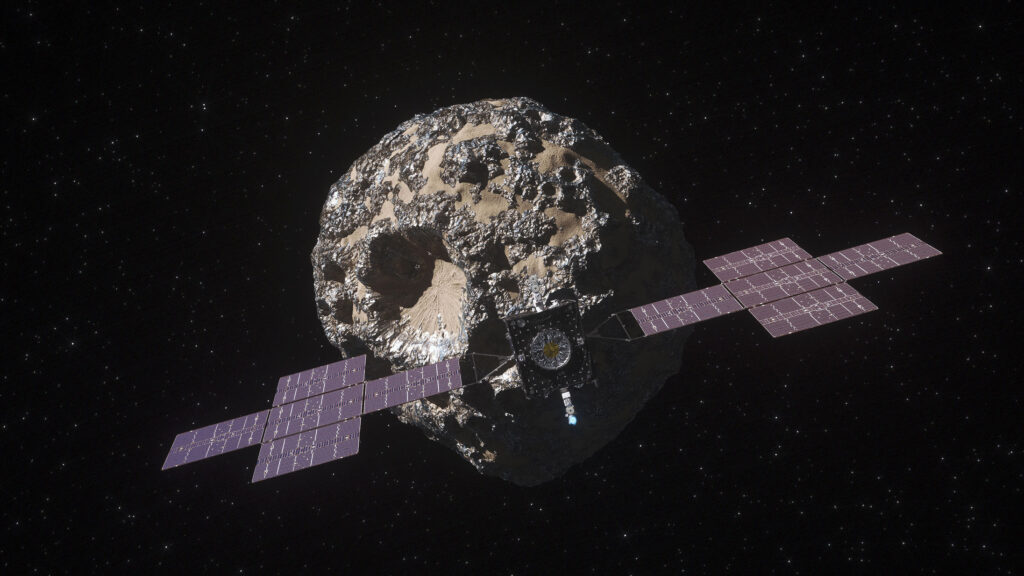
Fibertek also supports planetary science lidar missions and provides modeling and mission planning expertise to help customers optimize lidar performance before hardware commitment.
Documentation
No public datasheet yet — request the datasheet / ICD from the supplier.