ICEYE Flood Insights
 ICEYE
ICEYE
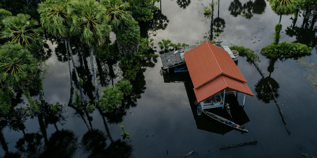
Strengthen flood resilience with satellite-powered insights and impact monitoring, leveraging the world's largest constellation of SAR satellites for community flood response, recovery, and mitigation.
About
ICEYE’s Flood Insights solution is the world’s first always-on flood monitoring tool developed for the public sector. It combines satellite remote sensing with observational ground truth to deliver GIS-ready flood intelligence within hours. This allows for the visualization of flood depth/extent data with building footprints to quickly assess local impacts and coordinate resources, providing emergency managers with the situational awareness needed for data-driven flood response efforts.
The solution improves situational awareness by visualizing hyperlocal flood impacts in near real-time, synthesizing data from satellites, ground-truth observations, and third-party sources to deliver actionable insights within hours. It optimizes emergency response by equipping various agencies with a single source of truth using GIS-enabled flood insights, empowering emergency managers to take action by leading data-driven recovery efforts. Furthermore, it strengthens community resilience by modernizing disaster response and mitigation with always-on satellite monitoring, providing access to GIS-enabled flood intelligence to protect vulnerable communities and infrastructure.
ICEYE generates near real-time flood intelligence through a combination of remote sensing satellites, observational ground truth, and sophisticated third-party data sets. Unlike traditional flood modeling, ICEYE creates flood extent and depth analyses globally, using real observation data instead of what-if projections. This allows for the delivery of GIS-ready depth, extent, and impact data layers that teams can trust, observing floods day or night, even through clouds or darkness. The system operates the world’s largest SAR satellite constellation, delivering unprecedented local insights on a global scale with 30+ satellites, rapid tasking, and 4x (or more) daily re-visits, ensuring natural disaster monitoring is always on. The multi-source analysis incorporates intel from several other sources, including local observations, river gauges, and third-party data sets, yielding actionable flood intelligence. Initial insights are ready within hours and then updated daily as a flood evolves.
Documentation
No public datasheet yet — request the datasheet / ICD from the supplier.