Wildfire Insights
 ICEYE
ICEYE
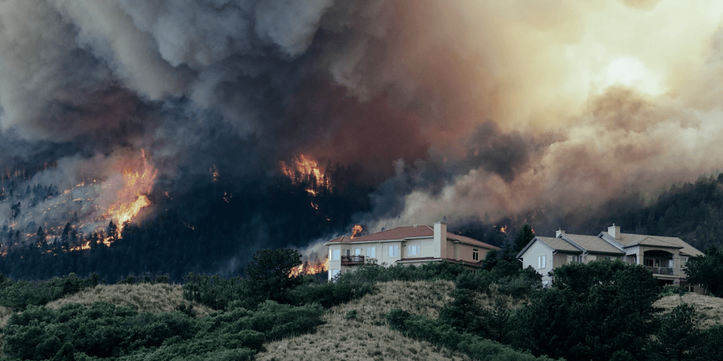
ICEYE's Wildfire Insights provides a near real-time assessment of building damage within the fire perimeter, helping insurers understand wildfire damage within hours, not days.
About
ICEYE’s Wildfire Insights offers a satellite-based solution for building-level damage data for wildfire events, enabling rapid assessment before the smoke has cleared. As climate change leads to more extreme and frequent wildfires, this product provides crucial near real-time situational awareness to insurers. It delivers building-level damage assessment in a vector format (latitude, longitude points or building footprints) with a binary classification of structural damage (‘destroyed’/’undamaged’) per location within 24 hours. This allows insurers to allocate field resources smarter, size losses more accurately, and accelerate claims processing. The solution also includes an Esri-based wildfire monitoring application to display active wildfires, utilizing data sources like fire perimeters, hotspots, building footprints, and populated urban centers. Leveraging ICEYE’s large constellation of Synthetic Aperture Radar (SAR) satellites, Wildfire Insights provides persistent monitoring with uninterrupted visibility, day and night, in any weather conditions, penetrating smoke to deliver reliable, actionable data every 24 hours during impactful wildfire catastrophes.
Documentation
No public datasheet yet — request the datasheet / ICD from the supplier.