Space as a Service® (Data, Compute, and Operations)
 Kubos (acquired by Xplore)
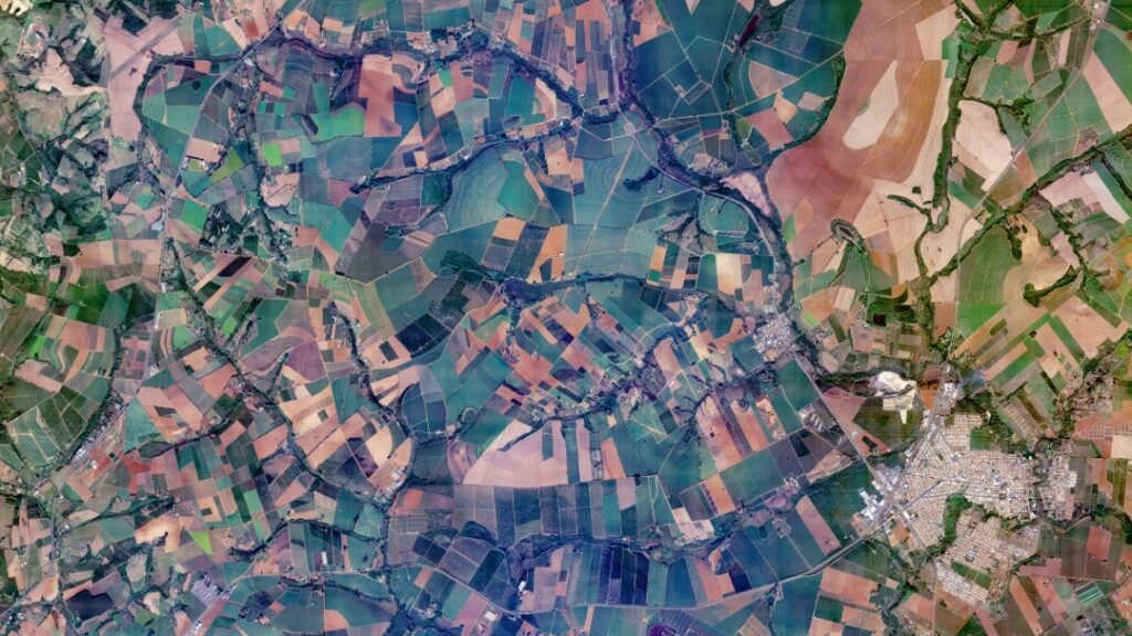
Xplore's Space as a Service® offers a comprehensive suite of solutions including Data as a Service from a LEO satellite constellation, Compute as a Service for orbital edge computing, and Operations as a Service via Major Tom® software.
Technical specifications
- Sensor types
- Multi/hyperspectral, SWIR, high-res RGB/video, UV imaging, RF sensors, radiation sensors
About
Xplore’s Space as a Service® empowers businesses with Data, Compute, and Operations capabilities. The core offering revolves around an innovative low Earth orbit satellite constellation designed to deliver high-quality remote sensing data products and edge computing.
Data as a Service provides hyperspectral data and sensor fusion from Xplore’s remote sensing satellites, which carry a diverse and versatile suite of instruments to capture data and deliver Earth imagery. The initial mission focuses on delivering world-leading hyperspectral data products.
Compute as a Service enables customers to run their algorithms on orbit. Xplore’s orbital edge computing capability supports software-defined payloads, allowing for data fusion product creation, insight extraction, data reduction, and the execution of innovative customer algorithms. This service aims to reduce the cost and latency associated with generating critical insights.
Operations as a Service is powered by Major Tom®, Xplore’s satellite ground operations software. This service allows operators to manage their satellite or constellation using multiple ground station networks for tracking, scheduling, commanding, downlinking data, and monitoring telemetry. Major Tom® can be used to run Xplore’s own constellation and is also available for customers to operate their constellations.
Documentation
No public datasheet yet — request the datasheet / ICD from the supplier.