Order Logic
 Orbit Logic
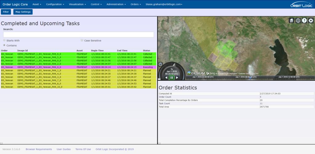
Web application for browsing, creating, and managing satellite imagery collection orders, with collection feasibility estimation across single or multi-satellite constellations.
About
Order Logic is a web application for satellite imagery collection order management. It allows users to browse, view, create, and edit imagery orders, monitor imagery collection and processing status, and estimate collection feasibility for single satellites or multi-satellite constellations. Order Logic can aid imagery collection efforts for disaster response, geospatial intelligence, municipal land use, international relief missions, and more.
Using statistical weather forecasts and long-term orbital dynamics, Order Logic computes the likelihood of collection and downlink against user-specified constraints such as collection timeframe, cloud cover limits, imaging mode, view angles, and required resolution, and calculates required strips and total scan time based on imaging mode. Order priority, statistical cloud cover, and competition from other nearby orders are factored in to determine minimum and maximum expected time to collect. The system supports collaborative collection by multiple satellites, simultaneous feasibility computation for multiple areas of interest, and multiple concurrent users via web browser or mobile device, with a simple administrative GUI for managing satellites, sensors, ground stations, and feasibility formula constants.
Documentation
No public datasheet yet — request the datasheet / ICD from the supplier.