SKAISEN
 Zaitra
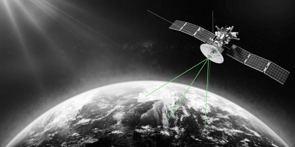
SKAISEN is a sensor-independent AI-based onboard software solution for cloud detection and object identification in satellite imagery. It processes a continuous stream of images from optical sensors directly on-board the satellite and notifies the operator about unwanted acquisitions caused by cloud coverage. SKAISEN estimates cloud coverage percentage for each satellite image and relays this information […]
Technical specifications
- Function
- Onboard cloud screening and object detection
- Operation
- Real-time processing of optical sensor image stream
- Output
- Cloud coverage percentage per image, autonomous data selection
- Integration
- Compatible with SKAIDOCK, SKAIPACK JPEG2000 ROI compression
- Data integrity
- Non-destructive — original data preserved
About
SKAISEN is a sensor-independent AI-based onboard software solution for cloud detection and object identification in satellite imagery. It processes a continuous stream of images from optical sensors directly on-board the satellite and notifies the operator about unwanted acquisitions caused by cloud coverage. SKAISEN estimates cloud coverage percentage for each satellite image and relays this information to the satellite operator or customer, who can set a maximum cloud coverage threshold for autonomous data selection. Small satellites can gather over 100 GB of imagery daily, but limited bandwidth restricts downlinking; SKAISEN enables operators to prioritize and transmit only valuable, cloud-free data, achieving substantial time and cost savings in downlink expenses. The solution integrates with SKAIPACK for intelligent JPEG2000 compression with region-of-interest prioritization. SKAISEN does not delete or modify the original data — data management decisions remain with the customer.
Documentation
No public datasheet yet — request the datasheet / ICD from the supplier.