Geospatial and Intelligence Service
 Taqnia Space
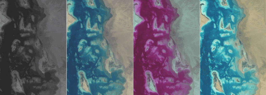
TAQNIA Space offers an end-to-end geospatial and intelligence service for decision-makers, providing solutions for asset protection, mission planning, and environmental monitoring.
About
TAQNIA Space introduces an end-to-end geospatial and intelligence service designed to provide decision-makers with practical solutions. This service encompasses asset protection and monitoring, mission planning and operations optimization, and improved management. Key benefits include delivering world-class, efficient, accurate, and timely services to empower decision-makers, serving the timely needs of security agencies for data analysis and situation awareness, and developing a single source of truth for Geo-Intelligence and Imagery Intelligence data. The service also ensures the development of world-class technology solutions based on international standards, supporting interoperability between geographic information systems and access to relevant information. Furthermore, it supports environmental protection by enabling the design and development of policies with effective progress data. TAQNIA Space is committed to exceeding expectations in geospatial services and remote sensing, investing in accelerating technology development for Saudi Arabia in partnership with KACST and Digital Globe to develop a constellation of highly capable small imaging satellites. The service provides access to various types of satellite images and LiDAR through KACST and partners, offering multi-resolution and multi-sensor data. It includes radiometric and geometric correction, change detection, visual interpretation analysis, and comprehensive geospatial intelligence (GEOINT) and image intelligence (IMINT) capabilities.
Documentation
No public datasheet yet — request the datasheet / ICD from the supplier.