Trimble R12i GNSS System
 Trimble
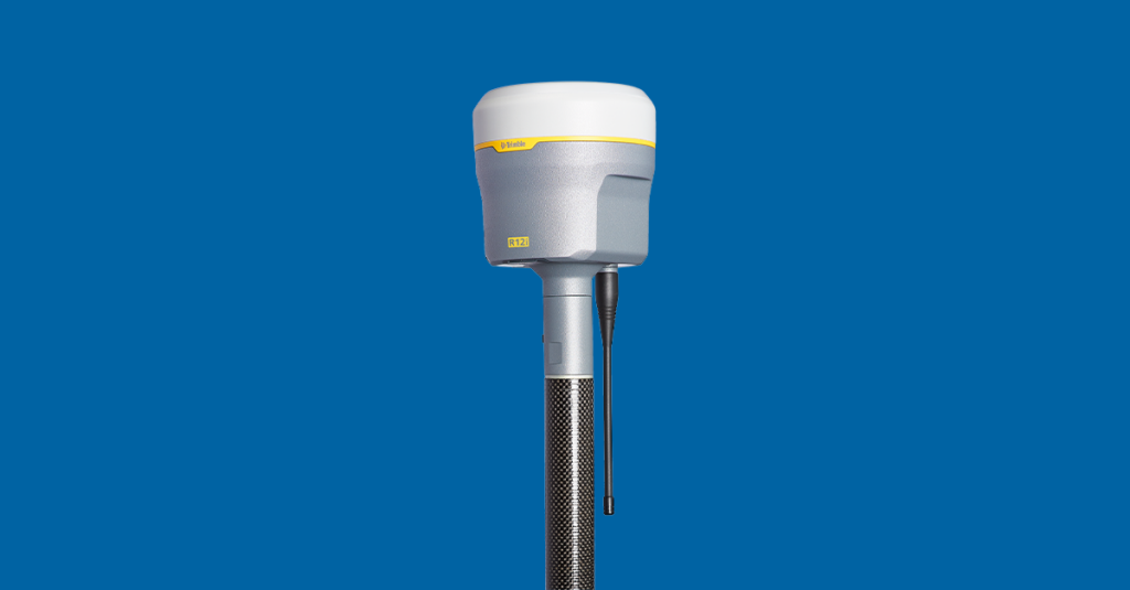
The Trimble R12i is Trimble’s flagship integrated GNSS rover, designed for land surveyors requiring maximum accuracy and productivity across challenging environments including urban canyons, dense tree canopy, and remote areas. Its IMU-based tilt compensation (Trimble TIP — Tilt Intelligent Positioning) lets operators work without levelling the pole, allowing access to hard-to-reach measurement points and dramatically […]
Typed specifications11 values
Discloses 2 of 12 fields engineers filter by in this category (category median 5).
- Mass
- 1 120 g product page
- Position accuracy
- 0.02 m product page
- Envelope (L×W×H)
- 11.9 cm × 13.6 cm product page
- Tracking channels
- 672 product page
- Constellations
- GPS product page GLONASS | Galileo | BeiDou | NavIC +2
Each value is typed with its unit and measurement condition and cites the datasheet page it was taken from. Nothing is guessed: a field that is absent here has not been published by the manufacturer. machine-extracted ✓ checked by NewSpace Market ✓ manufacturer confirmed by the manufacturer.
As published by the supplier12 lines, in the manufacturer's own wording
- Rtk accuracy (H/V)
- 8 mm H / 15 mm V
- Tip tilt positioning
- RTK + 3 mm + 0.15 mm/° tilt
- Centerpoint rtx accuracy
- 2 cm H / 3 cm V
- Channels
- 672
- GNSS constellations
- GPS, GLONASS, Galileo, BeiDou, NavIC, QZSS, SBAS
- UHF radio
- Receive & transmit, 450 MHz
- Cellular
- 3.5G
- Memory
- 6 GB
- Mass
- 1.12 kg
- Dimensions
- 11.9 cm × 13.6 cm
- Tilt compensation
- IMU-based (Trimble TIP)
- Correction services
- CenterPoint RTX, xFill, VRS, RTK
About
The Trimble R12i is Trimble’s flagship integrated GNSS rover, designed for land surveyors requiring maximum accuracy and productivity across challenging environments including urban canyons, dense tree canopy, and remote areas. Its IMU-based tilt compensation (Trimble TIP — Tilt Intelligent Positioning) lets operators work without levelling the pole, allowing access to hard-to-reach measurement points and dramatically accelerating field workflows. The R12i tracks 672 channels across all major GNSS constellations (GPS, GLONASS, Galileo, BeiDou, NavIC, QZSS, SBAS) with Trimble ProPoint technology for enhanced positioning in degraded signal environments. It supports the full Trimble RTX correction service ecosystem including CenterPoint RTX Precise Point Positioning (satellite- or cellular-delivered, no base station needed), xFill for seamless operation during RTK outages, and standard RTK base/rover workflows over 3.5G cellular or UHF radio. The R12i is compatible with the full Trimble Geospatial software stack including Trimble Access field software and Trimble Business Center office software.
Documentation
No public datasheet yet — request the datasheet / ICD from the supplier.