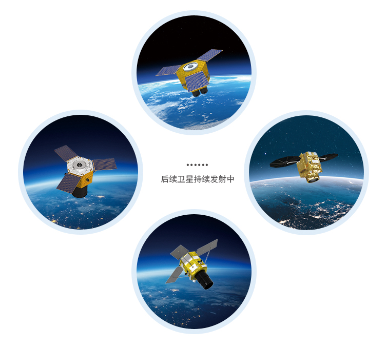
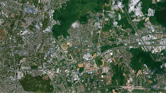
Satellite remote sensing data products and spatial information services from the Beijing No.1/2/3 constellation operated by 21st Century Space.
Beijing Satellite Constellation Remote Sensing Products
Satellite remote sensing data products and spatial information services from the Beijing No.1/2/3 constellation operated by 21st Century Space.
Description
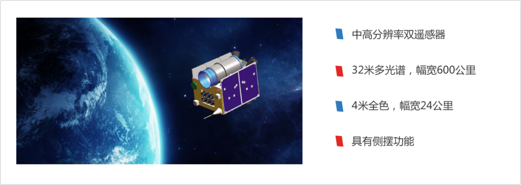
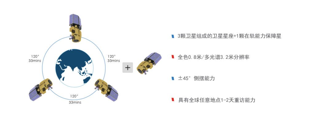
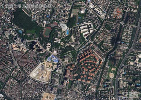
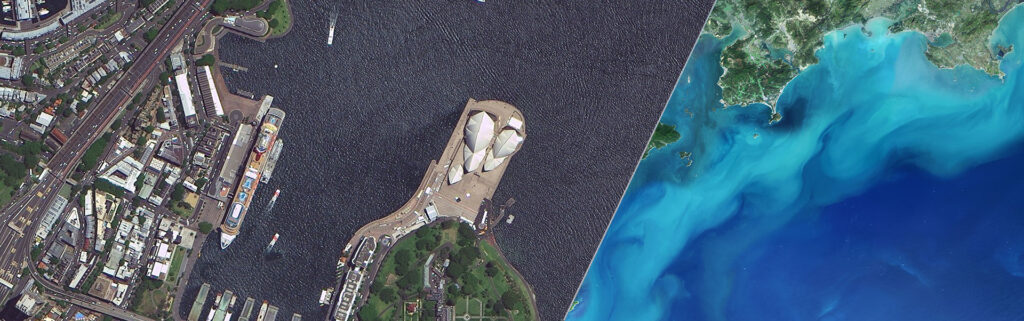
21st Century Space operates the Beijing satellite constellation — including Beijing No. 1, Beijing No. 2, and Beijing No. 3 — delivering high-resolution optical imagery and spatial information products for domestic and international customers. As a pioneer of commercial aerospace satellite remote sensing in China since 2001, the company provides an integrated suite of standardized image products, value-added processed data, information products, and spatial big data applications.
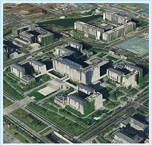
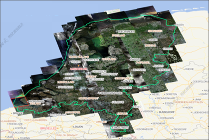
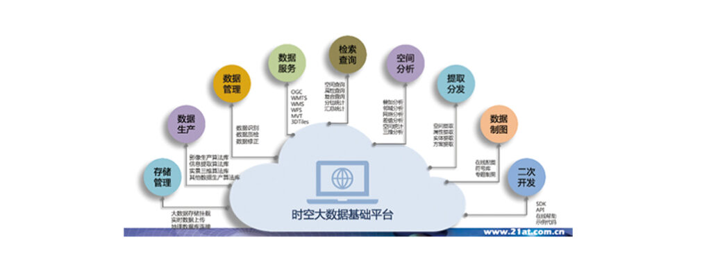
The product portfolio includes calibrated standard imagery, AI-enhanced value-added data, information products (derived spatial intelligence), and platform-level spatial big data services using cloud computing and mobile internet technologies with proprietary algorithms. A pyramid image service enables fast delivery and visualization of large-area image sets.
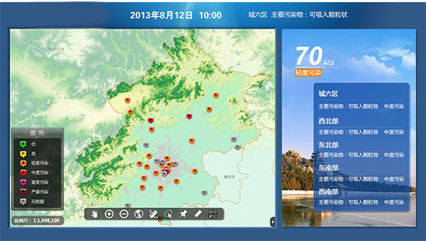
Applications span government decision-making, urban planning, agriculture, environmental monitoring, disaster assessment, and enterprise geospatial analytics. 21st Century Space maintains 15+ regional offices across China (Henan, Sichuan, Guangdong, Yunnan, Xinjiang, Hubei, Shaanxi, and others) for localized data delivery and application support.
Specifications
| Constellation | Beijing No. 1, Beijing No. 2, Beijing No. 3 |
|---|---|
| Product types | Standard image, value-added data, information products, spatial big data |
| Processing technology | AI-enhanced, cloud computing, proprietary algorithms |
| Coverage | China national and international |
| Applications | Urban planning, agriculture, disaster assessment, environmental monitoring |
| Delivery | 15+ regional offices across China |
| Founded | 2001 |