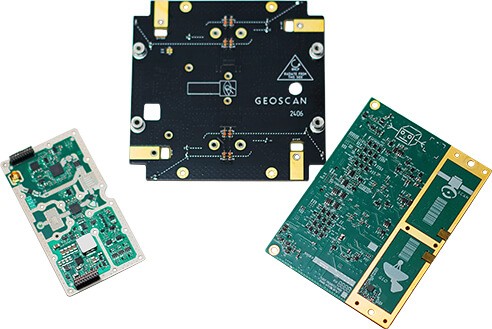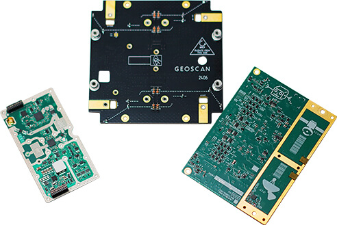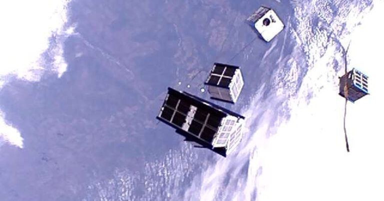


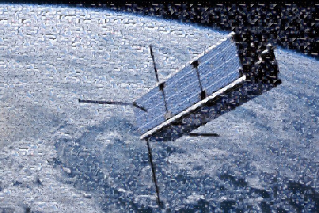
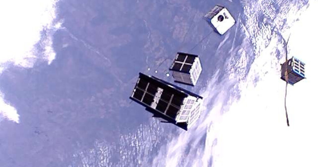
The Geoscan 16U is a CubeSat 16U satellite platform designed for Earth remote sensing and communication missions, providing power, control, attitude determination and control, and communication with ground stations.
Geoscan 16U
The Geoscan 16U is a CubeSat 16U satellite platform designed for Earth remote sensing and communication missions, providing power, control, attitude determination and control, and communication with ground stations.
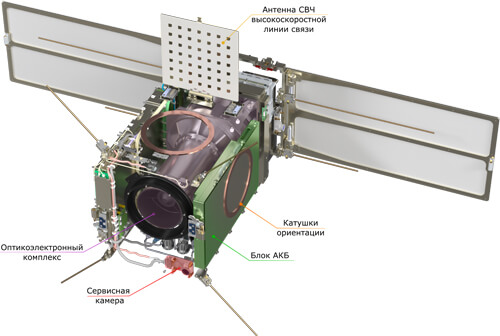
Description
The Geoscan 16U is a CubeSat 16U satellite platform developed by Geoscan for Earth remote sensing (ERS) and communication tasks. The platform provides electrical power, control, attitude determination and stabilization, and two-way communication with a ground station. It operates in a low Earth orbit at an altitude of 400–600 km. The first satellite of this form factor, InnoSat16, was launched on July 25, 2025, into a sun-synchronous orbit at approximately 500 km, equipped with a panchromatic camera for Earth surface imaging with a spatial resolution of 2.5 m/pixel.
For ERS missions, the platform can accommodate high-resolution cameras with a pixel projection to nadir of up to 2.5 m from a 500 km altitude and a swath width of 12 km. Camera options include panchromatic (black and white, one spectral channel), multispectral (color, several spectral channels including near-IR), and hyperspectral (dozens of spectral channels including near-IR).
For communication missions, the platform's technical solutions and available internal volume allow for powerful transceivers operating in both narrow and wide bands. The satellite features an attitude determination and control system (ADCS) comprising sensors and actuators to achieve specified image quality. A high-speed transmitter with a throughput of 250 Mbit/s is onboard for rapid data transmission to Earth.
The solar panels utilize gallium arsenide photovoltaic converters, which offer increased radiation and temperature fluctuation resistance, boosting average orbital power generation by over 50% compared to silicon PVs. An optional propulsion system can extend the satellite's active orbital lifetime to up to 5 years.
Satellites are assembled in a cleanroom environment (ISO 7 class according to GOST R ISO 14644-1—2017) to ensure minimal contamination.
Specifications
| Massa v sbore (bez PN) | 20 kg |
|---|---|
| Gabarity v slozhennom sostoyanii (s podzhatymi elementami sistemy otdeleniya) | 251,3 × 251,3 × 454 mm (251,3 × 251,3 × 512 mm s Tuna Can) |
| Napryazhenie sistemnoy shiny | 10,5…12,6 V |
| Interfeys bortovoy shiny | 2 kh CAN UART |
| Obem pamyati | 13 kh FRAM 8 Mbit 1 kh MRAM 16 Mbit 3 kh NOR Flash 512 Mbit 2 kh SPI NOR 2 Gbit |
| Tip solnechnykh paneley | arsenid galliya |
| Pikovaya moschnost, vydelyaemaya na solnechnykh panelyakh | 45 Vt |
| Tip akkumulyatora | 2 kh Li-ion 3P3S 10500 mAch |
| Emkost akkumulyatornoy batarei | 2 × 120 Vt·ch |
| Ukv radiokanal svyazi | poludupleks; diapazon chastot 435–438 MGts; 2-GFSK (optsiya — svertochnoe kodirovanie 1/2); skorost 57 600 bit/s |
| Radiokanal svyazi kh-diapazona | simpleks (kanal «vniz»); diapazon chastot 10,45–10,5 GGts; DVB-S2: modulyatsii: BPSK, QPSK, 8PSK, 16APSK, 32 APSK, kodirovanie: LDPC + BChKh 1/4, 1/3, 2/5, 1/2, 3/5, 2/3, 3/4, 4/5, 5/6, 6/7, 8/9, 9/10; propusknaya sposobnost 250 Mbit/s |
| Maksimalnaya moschnost peredatchikov | 32 dBm |
| Tip antenny ukv | turniketnaya |
| Tip antenny kh-diapazona | antennaya reshetka |
| Sistema opredeleniya orientatsii | 1 kh zvezdnyy datchik, 2 kh trekhosevoy magnitometr, 6 × 2 solnechnyy datchik, inertsialnyy blok (volokonno-opticheskie giroskopy, akselerometry), 2 kh GNSS-priemnik |
| Sistema obespecheniya orientatsii | magnitnye katushki, makhoviki |
| Rezhimy stabilizatsii | B-Dot, odnoosnaya orientatsiya, trekhosnaya orientatsiya |
| Tochnost opredeleniya orientatsii (3σ) | do 0,01˚ |
| Tochnost stabilizatsii (3σ) | do 0,005 ˚/s |
| Dostupnoe pitanie poleznoy nagruzki * | stabilizirovannoe 3,3…24 V / 2 A, nestabilizirovannoe 10,5…12,6 V / 2 A |
| Interfeys PN * | CAN, konfiguriruemyy LVDS |
| Dostupnaya maksimalnaya moschnost PN, vt ** | do 50 Vt (DZZ), do 230 Vt (svyaz) |
| Dostupnyy obem pod PN | ~8U (150 × 200 × 300 mm) |