
Pushbroom hyperspectral imaging instrument covering 420–2450 nm in 228 spectral bands at 30 m GSD, built for ESA/DLR's EnMAP global environmental monitoring satellite.
EnMAP Hyperspectral Imager (HSI)
Pushbroom hyperspectral imaging instrument covering 420–2450 nm in 228 spectral bands at 30 m GSD, built for ESA/DLR's EnMAP global environmental monitoring satellite.
Description
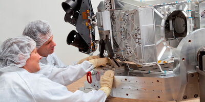
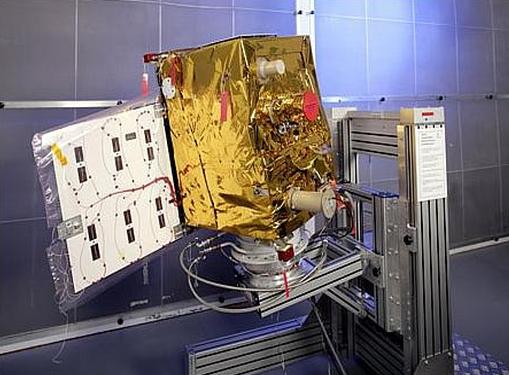
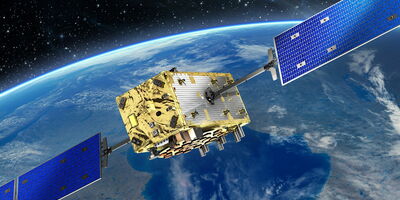
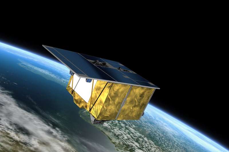
The EnMAP Hyperspectral Imager (HSI) is the science instrument at the core of the Environmental Mapping and Analysis Programme (EnMAP) Earth-observation satellite, developed and built by OHB System AG for DLR. EnMAP, launched April 2022, monitors and characterises Earth's environments — terrestrial ecosystems, soils, coastal zones and inland waters — by measuring biochemical, biophysical and geochemical variables using precise hyperspectral reflectance data. The HSI uses a double-spectrometer pushbroom concept with a shared telescope: a VNIR channel covering 420–1000 nm with approximately 5 nm sampling, and a SWIR channel covering 900–2450 nm with approximately 10 nm sampling, together spanning 228 spectral bands. The field splitter unit directs radiation from a single telescope aperture into the two independent spectrometers. The 30 m ground sample distance across a 30 km swath provides fine spatial resolution with high radiometric fidelity. The complete spacecraft — HSI plus SmartLEO-derived 553 kg bus — operates in a sun-synchronous orbit at roughly 650 km with a 27-day exact-repeat cycle, delivering up to 5,000 km of hyperspectral strip imagery per day. EnMAP data are freely available through DLR's Geoservice portal.
Specifications
| Spectral range | 420–2450 nm (VNIR + SWIR combined) |
|---|---|
| Spectral bands | 228 bands (VNIR ~5 nm sampling; SWIR ~10 nm sampling) |
| Ground sample distance | 30 m |
| Swath width | 30 km |
| Orbit altitude | ~650 km sun-synchronous |
| Repeat cycle | 27 days (exact repeat) |
| Daily coverage | up to 5,000 km strip per day |
| Satellite mass | 553 kg (complete spacecraft) |
| Launch | April 1, 2022 (SpaceX Falcon 9, Vandenberg) |
| Flight heritage | EnMAP operational since 2022; data freely available via DLR Geoservice |
| TRL | 9 (operational since 2022) |