Data as a Service
 Xplore Inc.
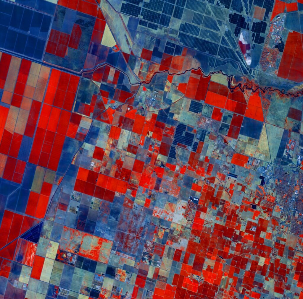
On-demand access to multi- and hyperspectral, SWIR, RGB, UV, RF, and radiation remote-sensing satellite data.
Technical specifications
- Sensor modalities
- Multispectral, hyperspectral, SWIR, RGB, UV, RF, radiation
- Delivery model
- Tasking-based, on-demand
About
Data as a Service is Xplore’s Earth observation data offering, providing customers with remote sensing imagery for commercial, intelligence, and climate applications. Customers can task Xplore’s satellites to collect imagery using a suite of onboard sensors.
Available sensing modalities include multi- and hyperspectral imaging, short-wave infrared (SWIR), high-resolution RGB imaging (including video), ultraviolet imaging, RF imaging/sensing, and radiation sensing. Xplore markets the hyperspectral capability as revealing the chemical composition of the Earth’s surface, beyond what conventional imagery can detect.
The service is aimed at over 15 market sectors, including agriculture, defense and intelligence, energy, environmental monitoring, maritime, infrastructure, and natural resource protection.
Documentation
No public datasheet yet — request the datasheet / ICD from the supplier.