
Synspective Inc.

Updated 10 Jul 2026
Manufacturer Japan Listed
8 Products
5 Services
8 Years Active
This profile was created from public sources. Is this your company? — update products, receive requests directly.

About Synspective Inc.

Synspective was founded in 2018 as a spin-off from the SynspectiveLab at the Institute of Industrial Science, University of Tokyo. The company develops and operates a constellation of synthetic aperture radar (SAR) satellites — the StriX series — and provides analytics derived from SAR data for infrastructure monitoring, land displacement measurement, disaster assessment, and security applications. SAR satellites operate in X-band, enabling cloud-penetrating, day-and-night imagery regardless of weather or illumination conditions.

Synspective's StriX constellation began with demonstration satellite StriX-α (launched 2020) and subsequent commercial satellites StriX-β (2022) and StriX-1 (2022), with a growing constellation planned toward dozens of satellites. Each StriX satellite is a compact SAR platform developed with Synspective's in-house engineering team, building toward high revisit rates over monitored infrastructure assets and disaster zones.

The company's analytics products include the Land Displacement Monitor (LDM) for measuring millimeter-scale ground deformation over time — applicable to monitoring road subsidence, mine tailings stability, dam safety, and building settlement — and the Area Change Detector for automated identification of infrastructure changes between observation epochs. Synspective primarily serves government agencies, infrastructure operators, urban planners, and insurers across Japan and broader Asia, with expanding international operations.

Milestones

  • 2018 Synspective founded
  • 2020 StriX-alpha SAR satellite launched

Products

8

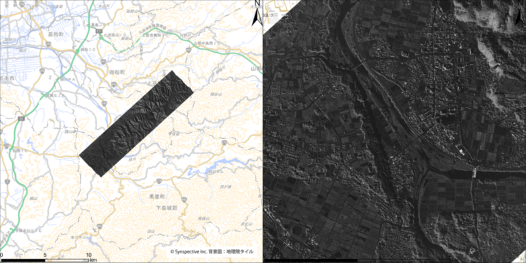
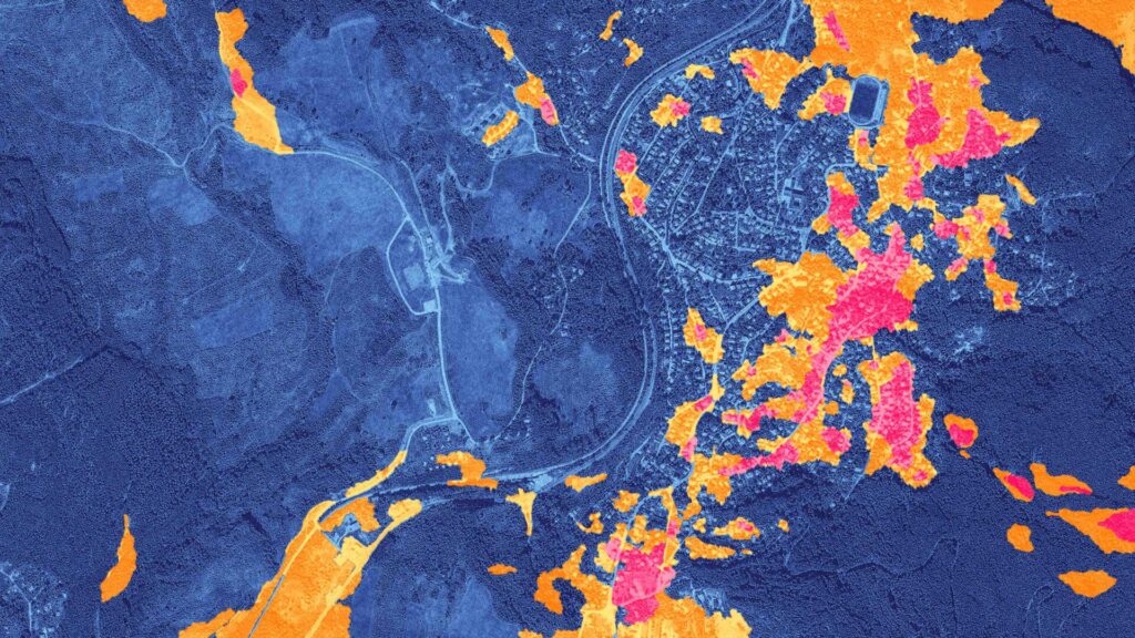
Synspective's Disaster Damage Assessment (DDA) solution utilizes SAR satellite imagery to analyze and measure damage caused by various natural disasters over wide areas.
1

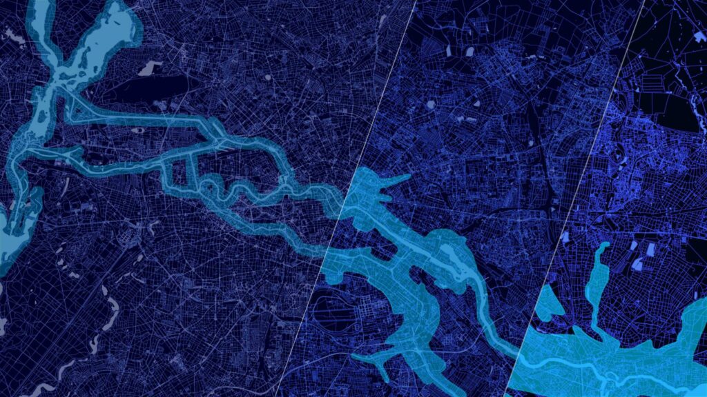
A flood damage evaluation service for disaster response that assesses inundation area, inundation depth, and damage to roads and buildings using SAR satellite data and AI technology.

1

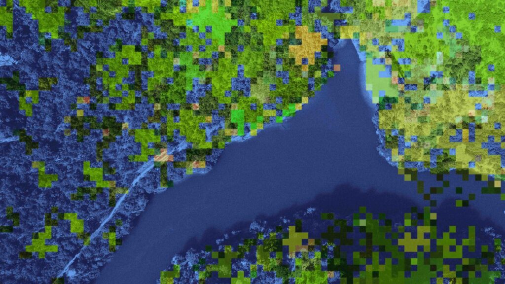
FIM allows for remote observation of forests, including tree height and biomass estimation, forest fauna classification, logging detection, and CO2 absorption calculation, enabling expanded management areas and cost reduction.

1

Synspective's InSAR-based analytics product detecting millimeter-level ground subsidence and infrastructure deformation from StriX SAR time-series data.

6

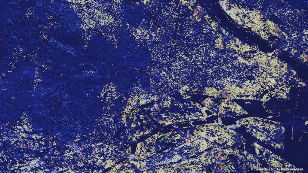
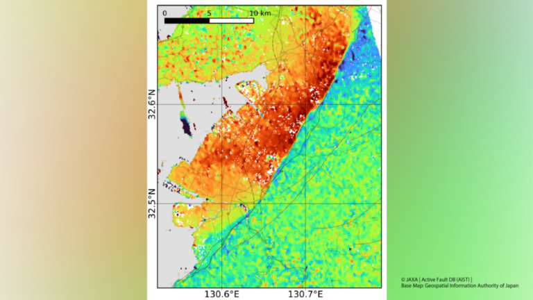
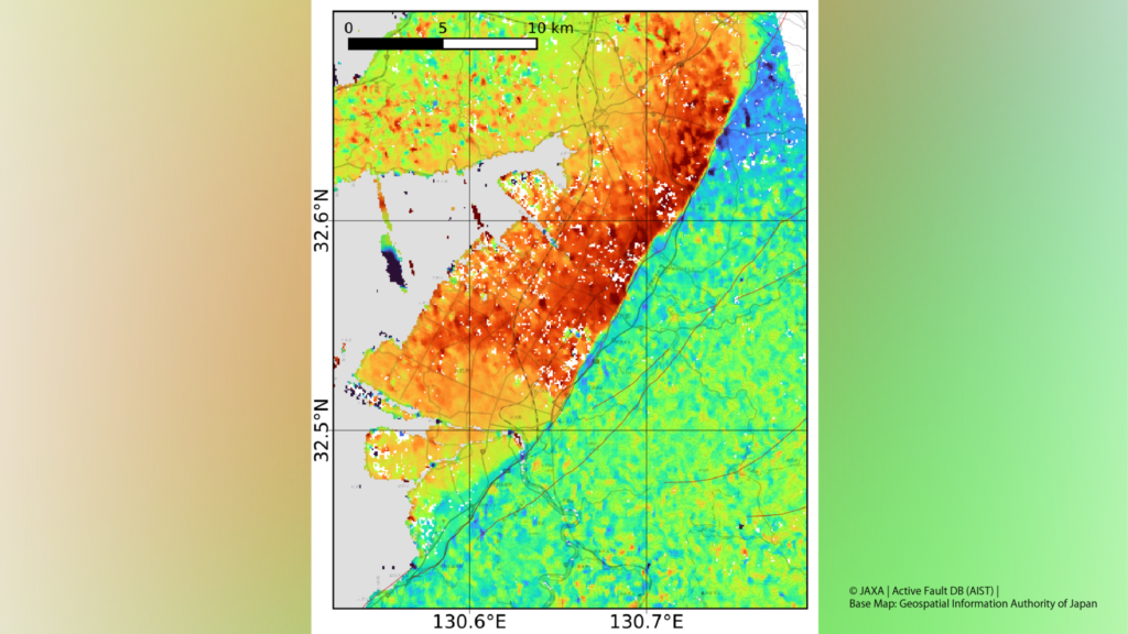
Synspective's Land Displacement Monitoring (LDM) solution uses InSAR analysis to detect timely vertical land displacement in millimeters over wide areas, enabling periodical observation of land subsidence and deformation.

1

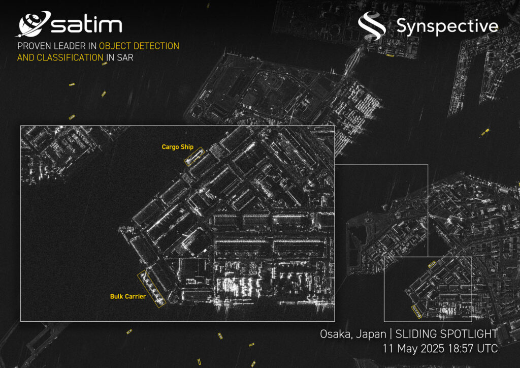
Synspective’s Object Detection and Classification (ODC) analytics solution uses advanced Synthetic Aperture Radar (SAR) data and AI/ML analytics to provide timely insights for monitoring dynamic assets.

2

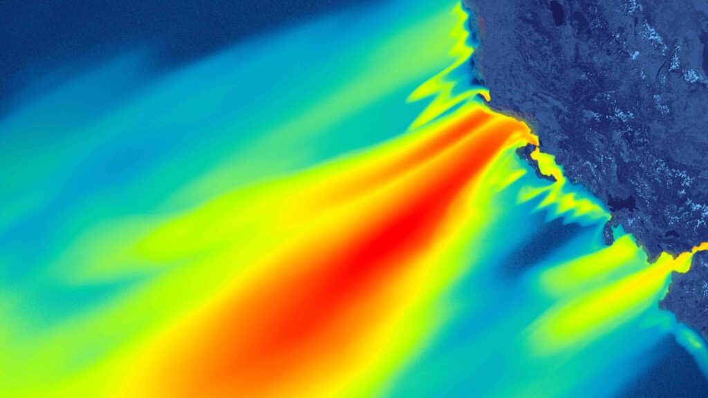
OWW utilizes cutting-edge Synthetic Aperture Radar (SAR) satellite data to observe and analyze wave heights and wind speeds across vast ocean areas, optimizing offshore wind turbine placement and enhancing maintenance efficiency.

1

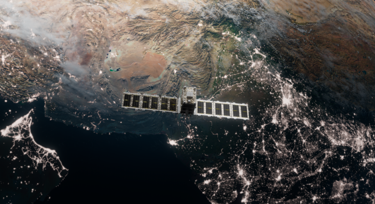
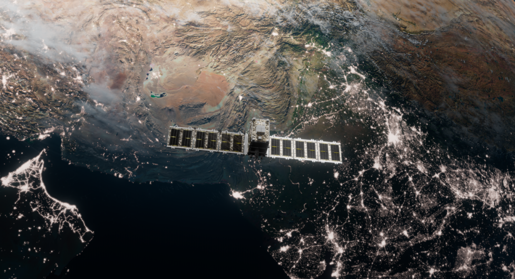
Synspective's StriX SAR microsat constellation for infrastructure monitoring, disaster response, and land deformation analytics from space.

7

Additional Services

5
EO imagery & data
Details →
Analytics Services (Cloud-based)

Synspective provides cloud-based solutions that deliver analytics services. These services utilize data science and machine learning techniques to help organizations derive critical insights from immense volumes of data. This allows customers to understand the Earth through advanced analytical processing of…

Full details →
Details →
Disaster Damage Assessment (DDA)

The Disaster Damage Assessment (DDA) solution focuses on capturing the location of change detection from satellite data analysis. This service is designed to quickly understand the extent of damage after a natural disaster for rescue and recovery planning. Utilizing SAR…

Full details →
Details →
Flood Damage Assessment (FDA)

The Flood Damage Assessment (FDA) solution provides rapid flood damage evaluation for disaster response. It assesses inundation area, inundation depth, and damage to roads and buildings using SAR satellites, which enable all-weather ground observation. This service quickly determines the presence…

Full details →
Details →
Land Displacement Monitoring (LDM)

The Land Displacement Monitoring (LDM) solution provides analysis of ground risks through millimeter-scale surface change monitoring. It applies InSAR analysis technology with continuous satellite monitoring to detect ground deformation in millimeters over wide areas, which is crucial for assessing safety…

Full details →
Details →
Remote Monitoring Services

Synspective offers remote monitoring services by leveraging SAR data collected from its satellites. This service is provided to government agencies and companies worldwide, enabling them to manage their environment, natural resources, and exposure to risk. The company also supplies SAR…

Full details →

Reviews

No reviews yet — reviews come from buyer accounts that have worked with this company.

Write a review

0 / 2000
← All providers