Disaster Damage Assessment (DDA)
 Synspective Inc.
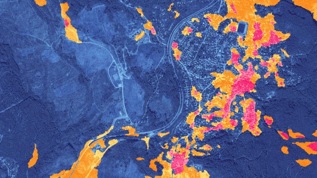
Synspective's Disaster Damage Assessment (DDA) solution utilizes SAR satellite imagery to analyze and measure damage caused by various natural disasters over wide areas.
About
With the ability to analyze damage and changes caused by various natural disasters (i.e. sediment-related disasters, building collapse, and volcanic ash deposits), SAR satellite imagery can assess and measure the degree of damage over a wide area before and after a disastrous event. One of the major features of SAR satellites is that they can observe through clouds and penetrate night and bad weather conditions. With SAR image analysis, it is possible to quickly assess the damage, even in remote areas where it may be difficult to dispatch people on-site. It is also a solution that allows accurate situational understanding and facilitates apt initial response with its ability to detect and understand disaster situations over a wide area and quickly share information with relevant parties. This solution offers advantages such as analyzing before and after changes of a disaster-stricken area, evaluating damage like landslides and building collapse, and optimizing time and cost for surveying wide-area disaster areas. It also reduces secondary risks and limits on-site danger by conducting remote surveys via satellite.
Documentation
No public datasheet yet — request the datasheet / ICD from the supplier.