Burnt Area
 OroraTech GmbH
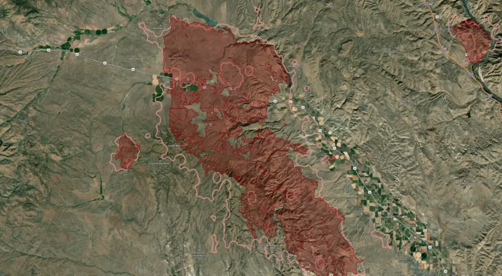
Leverage high-resolution satellite data to assess wildfire damage globally, quickly determine burn severity, allocate resources efficiently, and accelerate recovery with precise insights powered by advanced algorithms.
About
OroraTech’s Burnt Area solution provides fast, reliable, and highly detailed insights into fire damage globally, helping drive recovery efforts and make informed decisions in the aftermath of wildfires. It offers a comprehensive view of fire-impacted regions with global coverage and local precision, delivering accurate, high-resolution fire data worldwide with 20-meter precision, even in remote or challenging locations. Customers receive critical fire damage data within 2-3 days of a fire event to accelerate recovery planning and minimize costs. The system features 100% automated detection, saving time and costs with a scalable, fully automated system that instantly detects and maps burnt areas. It also provides detailed burn severity assessment to maximize the efficiency of recovery efforts and resource allocation. This solution serves as a cost-effective alternative to expensive aerial mapping, offering a faster and more affordable satellite-based fire damage assessment. Additionally, it includes meta information for enhanced analysis, allowing users to track fire progression with precise timestamps, enabling better mitigation and recovery planning. The Burnt Area product delivers precise burnt area outlines, and burn severity analysis, including timestamps that track fire ignition and extinction, and quality metrics reporting on the quality of the detection and mapping, providing crucial data for near-real-time fire severity analysis and enabling better wildfire recovery planning.
Documentation
No public datasheet yet — request the datasheet / ICD from the supplier.