Land Surface Temperature
 OroraTech GmbH
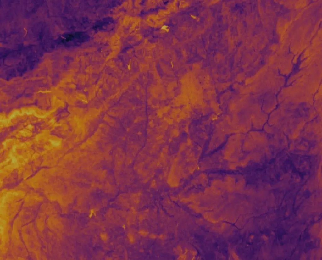
Leverage high-resolution thermal data to monitor land surface temperature globally, detect heat anomalies, and enhance environmental decision-making with precise insights powered by advanced satellite analytics.
Technical specifications
- Revisit capabilities
- Twice-daily
- Spatial resolution
- Up to 80 meters
- Temperature accuracy
- Up to 3K
About
OroraTech’s Land Surface Temperature (LST) solution provides continuous, reliable, and highly detailed insights into surface heat patterns worldwide, supporting smarter decisions in agriculture, forestry, infrastructure, and climate monitoring. It offers global thermal data coverage, including remote or hard-to-reach areas, updated consistently for ongoing environmental awareness. Users can access surface temperature data with twice-daily revisit capabilities to track heat trends and changes in near-real-time. The solution benefits from spatial resolutions of up to 80 meters, enabling targeted monitoring for agriculture, urban environments, and natural ecosystems. With high-temperature accuracy of up to 3K, it ensures dependable data quality for scientific analysis, risk assessment, and precision-driven applications. LST data allows for early detection of unusual temperature patterns, supporting fire prevention, drought mitigation, and infrastructure resilience, and is delivered seamlessly through easy API integration for effortless use and flexible adoption. OroraTech combines data from its proprietary satellite network equipped with thermal sensors, alongside public satellite sources, ground-based cameras, sensors, and customer data to ensure the highest possible accuracy and frequency of temperature readings.
Documentation
No public datasheet yet — request the datasheet / ICD from the supplier.