Bushfire Intelligence Platform
 OroraTech GmbH
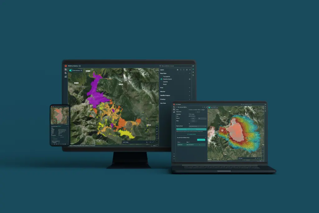
Satellite-based bushfire (wildfire) intelligence for early detection, continuous monitoring, and operational response.
About
OroraTech’s Bushfire Intelligence Platform provides comprehensive bushfire management, supporting decision-makers at every stage: before, during, and after a fire event. Before a fire, it offers risk assessment tools, including a 9-day Fire Weather index forecast, detailed mapping of fire risk, and critical weather information like wind speed, temperature, and humidity. It also provides vegetation and terrain analysis using land cover, vegetation indices, and 3D maps. During a fire, the platform enables early detection with instant alerts from over 35 satellites, capturing fires as small as 10×10 meters. Users receive automatic notifications via email, WhatsApp, SMS, or in-app alerts within minutes of new detections, along with precise location coordinates, fire intensity data, and estimates of the affected area. The platform also offers near-real-time monitoring with continuous fire tracking, fire spread simulation based on weather, topography, and fuel, and customizable incident overviews for situational awareness. After a fire, it assists with post-fire impact analysis, quantifying burnt areas automatically with high-resolution mapping and severity assessment. It also provides fire statistics from a comprehensive historical dataset and allows observation of fire progression over time.
Documentation
- ororatech-wildfire solution.pdf PDF source: 5701694.fs1.hubspotusercontent-eu1.net ↗
- 2026 DIY satellite foldable.pdf PDF source: 5701694.fs1.hubspotusercontent-eu1.net ↗
Need the full ICD, test reports or a specific revision? Ask the supplier directly.