OroraTech Wildfire Solution
 OroraTech GmbH
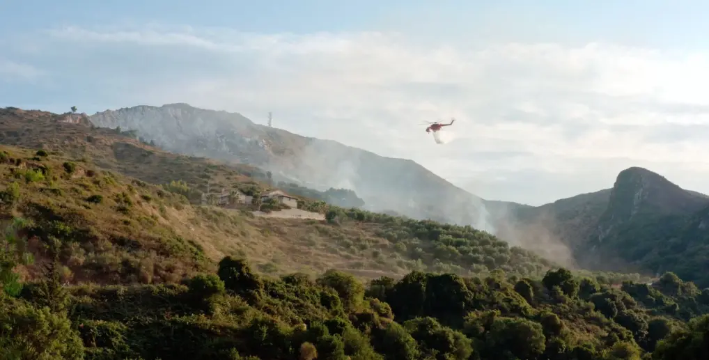
OroraTech's Wildfire Solution is a global wildfire management platform that combines thermal-infrared satellite imagery with AI-driven analytics to detect, monitor, and predict wildfires in near real time.
Technical specifications
- Satellite constellation
- 14 OroraTech satellites in Low Earth Orbit (LEO)
- Combined thermal satellite network
- 35+ satellite sources (OroraTech + public satellites)
- Coverage
- Continuous global coverage, 24/7 high-resolution data
- Detection method
- Thermal infrared (heat detection) with pixel-level temperature measurement
- Operating conditions
- Day, night, and through smoke
- Users
- Users in 25 countries
- Company presence
- Employees on 5 continents
- Product modules
- Fire Spread, Burnt Area, Land Surface Temperature, Short-Term Fire Hazard
About
OroraTech’s Wildfire Solution is a global wildfire intelligence platform that gives organizations space-based tools to tackle wildfire challenges, safeguarding forests, ecosystems, communities, and critical assets. The system is built on OroraTech’s own network of thermal infrared sensors carried on 14 satellites operating in Low Earth Orbit (LEO), which provide continuous global coverage and gather high-resolution data 24/7. These sensors detect heat rather than visible light, allowing fire outbreaks to be pinpointed under any conditions – day, night, or through smoke – by measuring temperature at the pixel level to reliably identify fire events. OroraTech’s own satellites are combined with data from other public satellites to form what the company describes as the largest network of thermal satellites in the world, with 35+ satellite sources and counting, eliminating coverage gaps. Once captured, satellite data is processed by OroraTech’s proprietary AI algorithms, which analyze heat signals in real time to detect fires and predict fire spread. The platform’s product portfolio includes Fire Spread, Burnt Area, Land Surface Temperature, and Short-Term Fire Hazard modules. It serves civil protection agencies, infrastructure and energy operators, forestry organizations, and carbon and climate monitoring applications. Documented users include ARAUCO in Chile, the Hellenic Fire Service in Greece, and the USFS-supported Niassa National Reserve in Mozambique, where the platform has been used for night-time fire visibility, cross-border fire coordination, and spatio-temporal fire pattern analysis for integrated fire management planning.
Documentation
No public datasheet yet — request the datasheet / ICD from the supplier.