OnEO Geospatial Intelligence
 Indra Sistemas
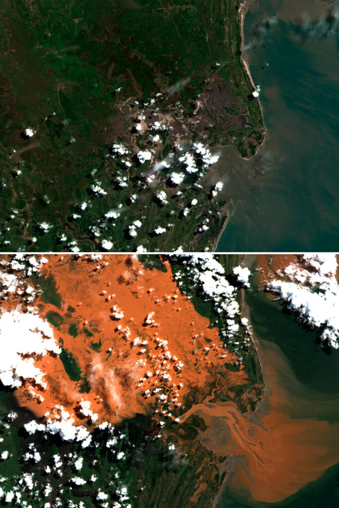
OnEO is a next-generation Earth observation platform that transforms multi-source geospatial data into operational intelligence for civil and defence users. It leverages advanced analytics and AI to detect patterns, anticipate trends, and enhance situational awareness.
About
OnEO is a sophisticated Earth observation platform designed to integrate and exploit satellite data alongside multiple other sources to provide strategic advantage through accurate, contextual, and real-time views of the planet. This platform utilizes advanced analytics and artificial intelligence to process multi-source geospatial data, enabling it to detect patterns, anticipate trends, and significantly enhance situational awareness. It generates real-time alerts and mission reports, facilitating faster and more effective decision-making. OnEO functions as a digital platform for the distribution and exploitation of services, offering a marketplace of processed products, ready-to-use satellite imagery, thematic maps, and analytical layers. It also provides on-demand services tailored to specific sector needs, including precision agriculture, energy and environment, logistics and transport, insurance and risk management, emergency management, and strategic intelligence and defence. A core component of the system is a Digital Twin of the Earth, which allows for the simulation, prediction, and optimization of real-world situations through dynamic models of the terrestrial environment, offering deep insights into territorial changes. The platform boasts a dual approach, serving both civil and defence applications, and emphasizes interoperability and adherence to standards. Key advantages include its modular, scalable, and interoperable design, seamless integration with existing systems, advanced data processing for actionable real-time information, reduction of operational costs through automation and AI, and full control over mission planning, execution, and analysis.
Documentation
No public datasheet yet — request the datasheet / ICD from the supplier.