PIE-UAV
 PIESAT Information Technology
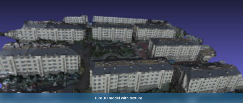
Highly automated UAV/drone image processing software for batch DOM production.
Technical specifications
- Camera support
- Support for different types of camera and random UAV flying tracks
- Mosaic
- Rapid automatic image mosaic
- Positioning data
- Support for POS and GCP files in customized format
- Color processing
- Automatic uniform color of large-scale images
- Calibration
- Automatic verification of camera
About
PIE-UAV is a UAV data processing software independently developed by PIESAT, capable of feature extraction, feature matching, image alignment, DEM generation, orthorectification and image mosaic. It has a clean interface and simple operation, enabling large-scale batch processing of aerial imagery DOM production in one click. PIE-UAV is widely applied in land industry, surveying and mapping, agriculture, forestry, water conservancy and environmental protection.
Documentation
No public datasheet yet — request the datasheet / ICD from the supplier.