PIE-Map
 PIESAT Information Technology
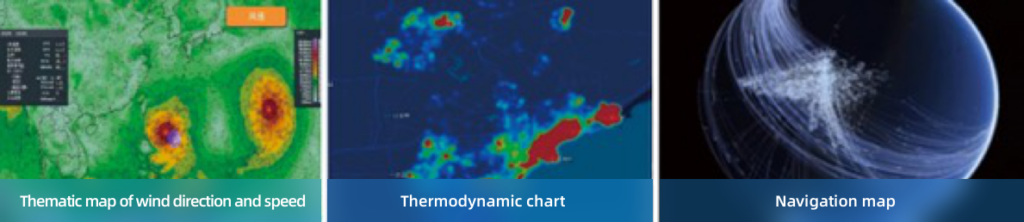
A 2D & 3D visualization system for large-scale geographic scenes, providing professional GIS data processing and rendering services.
Technical specifications
- Platform
- Secure and reliable spatial information platform
- Data support
- Multiple data formats for loading and management
- Visualization
- Integrated 2D/3D visualization of GIS scene data across data types
- Processing
- Processing and analysis of various professional data
- Deployment
- Comprehensive solutions covering multiple terminals and platforms
About
PIE-Map is a 2D & 3D visualization system designed for large-scale geographic scenes. It provides professional processing services on GIS data, including spatial data management, projection transformation, query analysis, geographic plotting, thematic mapping, map configuration, data access and release, vector editing, navigation and positioning, and 2D/3D dynamic visualization. To meet the requirements of different industries, PIE-Map has been developed into multiple professional versions serving sectors such as atmosphere, ocean, land, surveying & mapping, agriculture, forestry, and disaster reduction, among others.
Documentation
No public datasheet yet — request the datasheet / ICD from the supplier.