
PIESAT's flagship remote sensing image and data processing software suite.
PIE (Pixel Information Expert)
PIESAT's flagship remote sensing image and data processing software suite.
Description
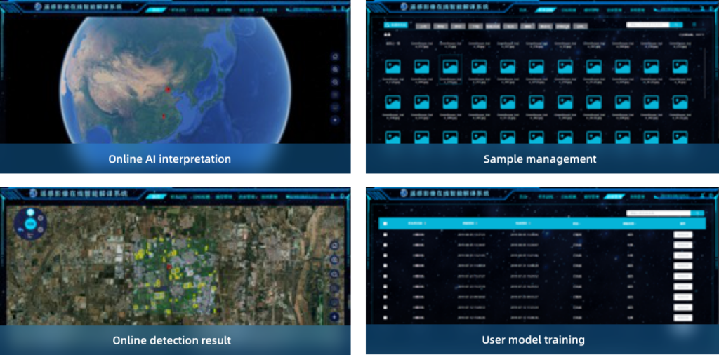
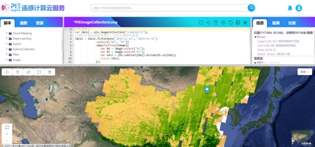
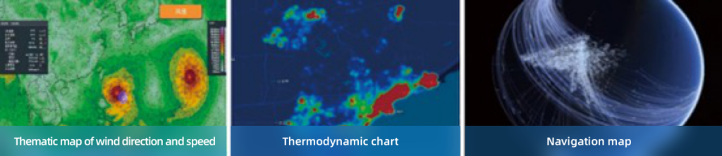
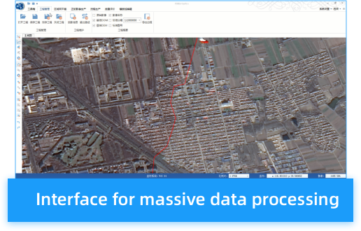
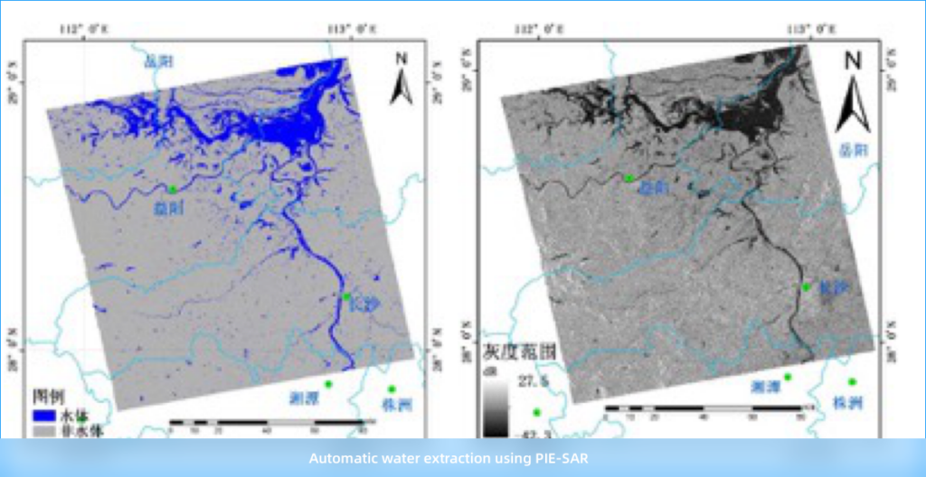
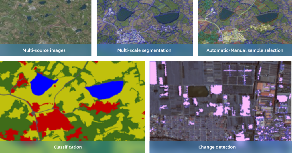
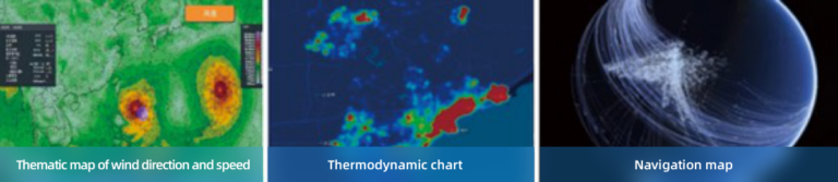
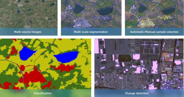
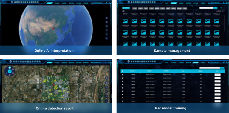
PIE (Pixel Information Expert) is the flagship software product of PIESAT for remote sensing image and data processing. It provides comprehensive functions for processing multi-modal remote sensing data (optical, radar, hyperspectral and LiDAR) and applies deep-learning-based AI to information extraction, forming a highly automated, user-friendly platform for remote sensing engineering applications. PIESAT holds fully independent intellectual property rights of PIE. By integrating cloud and on-site services with an embedded intelligent image interpretation engine, PIE forms a remote sensing image processing product system covering full workload, whole process and cross-industry applications, including image preprocessing, image fusion, image mosaic, intelligent interpretation, synthetic drafting and process customization. It is applied in meteorology, maritime, water conservancy, agriculture, forestry, land management, disaster reduction and environmental protection.
Specifications
| Input data | Image data, GIS data, terrain data, ancillary data |
|---|---|
| Preprocessing module | Radiometric correction, geometric correction, block adjustment, image fusion, mosaic & uniform color |
| Extension packages | Industrial application, UAV data processing, microwave processing, hyperspectral processing |
| Interpretation and analysis module | Image enhancement, image classification, comprehensive determination, thematic mapping, intelligent translation, scale-set analysis |
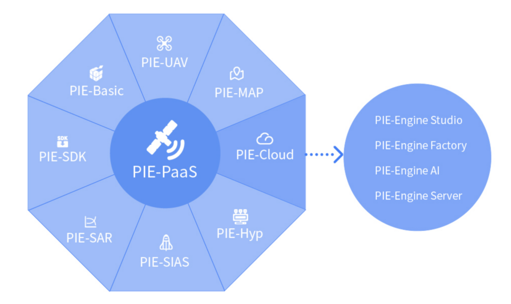
| Product family | PIE-Ortho, PIE-SAR, PIE-Hyp, PIE-UAV, PIE-SIAS, PIE-AI, PIE-Map, PIE-SDK, PIE-Engine |