Program Complex for Visualization of Geospatial Data
 Glavkosmos
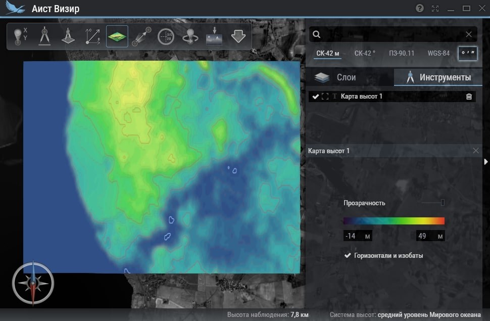
A software program complex for operational visualization of various geospatial information in planned and 3D modes, capable of offline operation and performing basic computing tasks.
Key figurescomparable across the catalogue
- Design life
- 3 years
- Lead time
- 1 months
Normalised to common units so this product can be compared with others in its category. The supplier's own wording is below.
As published by the supplier
- Year of release
- 2017
- Design life
- 3 years
- Lead time
- From 1 months depending on adaptation requirements
- Flight qualification of the product
- No
- Possibility to adapt the product to customer requirements
- Yes
- Coordinates accuracy
- Depending on product type
About
The Program Complex for Visualization of Geospatial Data is a software solution designed for the operational visualization of diverse geospatial information. It operates in both planned and 3D modes and functions without requiring an internet connection. Key capabilities include determining spatial coordinates of any point, performing ground calculations with or without considering relief, and providing search functionalities by coordinates and names. The complex also allows for the calculation of visibility from a specific point and supports the export of raster data for printing or use in third-party software. It is intended for near real-time visualization and for solving a range of fundamental computing tasks based on geospatial data. The product was released in 2017 and has a guaranteed service life of 3 years. Production and delivery times vary from 1 month, depending on specific adaptation requirements. The product is not flight qualified but can be adapted to meet customer needs.
Documentation
No public datasheet yet — request the datasheet / ICD from the supplier.